Portland Road, Queensland facts for kids
Quick facts for kids Portland RoadQueensland |
|
|---|---|

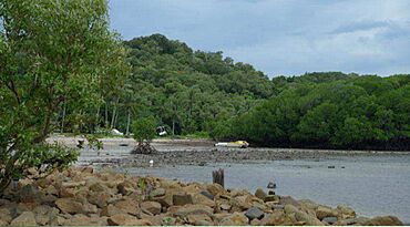
Beach at Portland Road, 2014
|
|
| Postcode(s) | 4892 |
| Time zone | AEST (UTC+10:00) |
| LGA(s) | Shire of Cook |
| State electorate(s) | Cook |
| Federal Division(s) | Leichhardt |
Portland Road is a small town located in Queensland, Australia. It is part of the Shire of Cook area. This town is found within a larger region known as Iron Range.
A Look Back: History of Portland Road
The town of Portland Road gets its name from a nearby harbour. This harbour is also called Portland Road (12°35′41″S 143°24′41″E / 12.5947°S 143.4114°E). The harbour itself was named after a very important person, William Henry Cavendish, who was a Duke of Portland.
The name "Portland Road" first appeared on a map in 1897. This map was created by the British Admiralty, which was the part of the British government in charge of the navy.
Portland Road During World War II
For a long time, Portland Road was an important port. It helped support the Iron Range area by providing a place for ships to dock.
During World War II, Portland Road became even more important. It was used as an airstrip, which is a place where airplanes can land and take off. It also served as a "staging post." This means it was a place where soldiers and supplies could stop and get ready before moving on to other locations.
At that time, there was a very large jetty in the harbour. A jetty is like a long pier that extends into the water, used for boats to load and unload. This large jetty has since been removed. If you explore the bush areas around Portland Road today, you might still find old bunkers. These were strong shelters built during the war. You might also see rusty 44 gallon drums, which were used to store fuel or other supplies.


