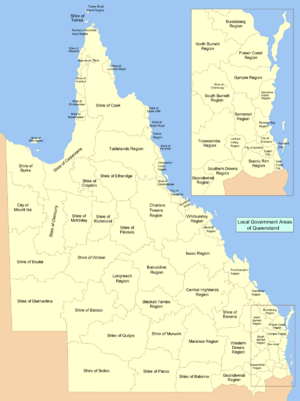
Local government areas of Queensland facts for kids
Welcome to Queensland! Did you know that Australia is divided into smaller areas called Local Government Areas (LGAs)? These areas are like local neighbourhoods or districts, and each one has its own council. This council is a group of people elected by the community to make decisions about local services.
These services include things like looking after parks, roads, libraries, and rubbish collection. They help make sure your local area is a great place to live! This page lists all the LGAs in Queensland, grouped by their larger regions.
Contents
Understanding Local Government Areas
Local Government Areas are important because they help manage local communities. Think of them as the smallest level of government, working closely with the people who live there. Each LGA has a main office, often called the Council Seat, where the local council meets and works.
What is a Council?
A council is a group of people chosen by the community to represent them. They listen to what local people need and make decisions about how to spend money on local services. This helps improve the area for everyone.
How LGAs Change: Amalgamation and De-amalgamation
Sometimes, smaller LGAs join together to form a bigger one. This is called an amalgamation. It often happens to make local government more efficient. For example, several small towns might combine their councils into one larger regional council.
Other times, a large LGA might split into smaller ones again. This is called de-amalgamation. This happens if people feel their local area isn't being properly represented in a very large council. You'll see some examples of both in the list below!
Queensland's Local Government Areas by Region
Here is a list of Queensland's LGAs, organised by their larger regions. You'll see the name of the LGA, where its main council office is, how big it is, and how many people live there.
| Name | Council Seat | Region | Year Started | Area (km²) | Population (2015) | Notes | Map |
|---|---|---|---|---|---|---|---|
| City of Brisbane | Brisbane | South East Queensland | 1924 | 1,367 | 1,162,186 | Brisbane is the capital city of Queensland. It was formed by joining many smaller cities, towns, and shires in 1924. | 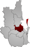 |
| Shire of Noosa | Tewantin | South East Queensland | 2014 | 868.7 | 53,515 | Noosa became its own shire again in 2014, after being part of the Sunshine Coast Region. | 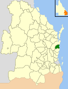 |
| City of Gold Coast | Surfers Paradise | South East Queensland | 1948 | 1,358 | 555,608 | 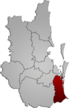 |
|
| City of Ipswich | Ipswich | South East Queensland | 1860 | 1,089 | 193,015 | 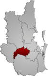 |
|
| Lockyer Valley Region | Gatton | South East Queensland | 2008 | 2,273 | 38,798 | This region was created in 2008 by combining the Shires of Gatton and Laidley. | 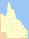 |
| Logan City | Logan Central | South East Queensland | 1978 | 913 | 308,681 | Logan City grew in 2008, taking in part of the Shire of Beaudesert. | 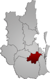 |
| Moreton Bay Region | Caboolture | South East Queensland | 2008 | 2,011 | 425,482 | Formed in 2008 from the City of Redcliffe and the Shires of Pine Rivers and Caboolture. | 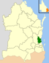 |
| Redland City | Cleveland | South East Queensland | 1949 | 537 | 149,989 | 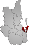 |
|
| Scenic Rim Region | Beaudesert | South East Queensland | 2008 | 4,256 | 39,757 | This region was created in 2008 from parts of the Shires of Boonah and Beaudesert, and areas from Ipswich. | 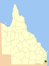 |
| Somerset Region | Esk | South East Queensland | 2008 | 5,379 | 24,007 | Created in 2008 by joining the Shires of Esk and Kilcoy. | 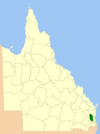 |
| Sunshine Coast Region | Nambour | South East Queensland | 2008 | 2,251 | 287,539 | Formed in 2008 from the City of Caloundra and the Shires of Maroochy and Noosa. The Shire of Noosa later became separate again in 2014. | 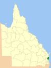 |
| Shire of Banana | Biloela | Wide Bay-Burnett | 1879 | 28,577 | 15,773 | The Shire of Banana expanded in 2008 to include part of the Shire of Taroom. | 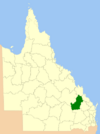 |
| Bundaberg Region | Bundaberg | Wide Bay-Burnett | 2008 | 6,451 | 94,380 | This region was created in 2008 by combining the City of Bundaberg and the Shires of Burnett, Isis, and Kolan. | 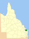 |
| Aboriginal Shire of Cherbourg | Cherbourg | Wide Bay-Burnett | 1986 | 32 | 1,291 | ||
| Fraser Coast Region | Hervey Bay | Wide Bay-Burnett | 2008 | 7,125 | 101,977 | Formed in 2008 from the Cities of Hervey Bay and Maryborough, and parts of the Shires of Woocoo and Tiaro. | 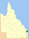 |
| Gympie Region | Gympie | Wide Bay-Burnett | 2008 | 6,898 | 48,681 | Created in 2008 from the Shires of Cooloola and Kilkivan, and part of the Shire of Tiaro. | 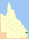 |
| North Burnett Region | Gayndah | Wide Bay-Burnett | 2008 | 19,708 | 10,292 | This region was formed in 2008 by combining six different shires: Biggenden, Eidsvold, Gayndah, Monto, Mundubbera, and Perry. | 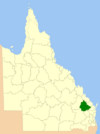 |
| South Burnett Region | Kingaroy | Wide Bay-Burnett | 2008 | 8,399 | 32,575 | Created in 2008 from the Shires of Kingaroy, Nanango, Murgon, and Wondai. | 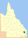 |
| Goondiwindi Region | Goondiwindi | Darling Downs | 2008 | 19,294 | 11,022 | Formed in 2008 from the Town of Goondiwindi and the Shires of Waggamba and Inglewood. | 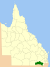 |
| Southern Downs Region | Warwick | Darling Downs | 2008 | 7,120 | 35,738 | Created in 2008 by joining the Shires of Warwick and Stanthorpe. | 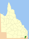 |
| Toowoomba Region | Toowoomba | Darling Downs | 2008 | 12,973 | 163,232 | This large region was formed in 2008 from the City of Toowoomba and seven other shires. | 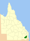 |
| Western Downs Region | Dalby | Darling Downs | 2008 | 38,039 | 33,799 | First called the Dalby Region in 2008, it was renamed Western Downs Region in 2009. It was formed from the Town of Dalby and five shires. | 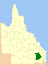 |
| Central Highlands Region | Emerald | Central Queensland | 2008 | 59,884 | 31,454 | Created in 2008 from the Shires of Bauhinia, Duaringa, Emerald, and Peak Downs. | 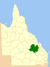 |
| Gladstone Region | Gladstone | Central Queensland | 2008 | 10,488 | 67,464 | Formed in 2008 from the City of Gladstone and the Shires of Calliope and Miriam Vale. | 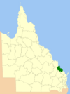 |
| Isaac Region | Moranbah | Central Queensland | 2008 | 58,862 | 24,267 | Created in 2008 from the Shires of Belyando, Broadsound, and Nebo. | 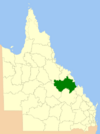 |
| Mackay Region | Mackay | Central Queensland | 2008 | 7,621 | 123,724 | Formed in 2008 from the City of Mackay and the Shires of Mirani and Sarina. | 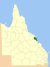 |
| Rockhampton Region | Rockhampton | Central Queensland | 2008 | 18,361 | 83,653 | Created in 2008 from the City of Rockhampton and three shires. The Shire of Livingstone later became separate again in 2014. | 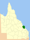 |
| Shire of Livingstone | Yeppoon | Central Queensland | 2014 | 11,776 | 37,001 | Livingstone became its own shire again in 2014, after being part of the Rockhampton Region. | 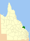 |
| Aboriginal Shire of Woorabinda | Woorabinda | Central Queensland | 1986 | 391 | 1,001 | ||
| Shire of Burdekin | Ayr | North Queensland | 1888 | 5,052 | 17,831 | 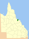 |
|
| Charters Towers Region | Charters Towers | North Queensland | 2008 | 68,388 | 12,433 | Formed in 2008 from the City of Charters Towers and the Shire of Dalrymple. | 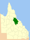 |
| Shire of Hinchinbrook | Ingham | North Queensland | 1879 | 2,811 | 11,352 | 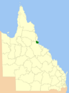 |
|
| Aboriginal Shire of Palm Island | Palm Island | North Queensland | 1986 | 71 | 2,671 | 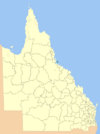 |
|
| City of Townsville | Townsville | North Queensland | 2008 | 3,733 | 193,946 | The new City of Townsville was created in 2008 by joining the former City of Townsville and the City of Thuringowa. | 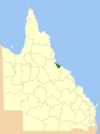 |
| Whitsunday Region | Bowen | North Queensland | 2008 | 23,856 | 34,312 | Formed in 2008 from the Shires of Whitsunday and Bowen. | 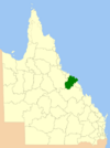 |
| Shire of Aurukun | Aurukun | Far North Queensland | 1978 | 7,375 | 1,424 | 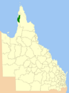 |
|
| Cairns Region | Cairns | Far North Queensland | 2008 | 4,128 | 160,285 | Created in 2008 from the City of Cairns and the Shire of Douglas. The Shire of Douglas later became separate again in 2014. | 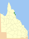 |
| Shire of Mareeba | Mareeba | Far North Queensland | 2014 | 53,610 | 21,833 | Mareeba became its own shire again in 2014, after being part of the Tablelands Region. | 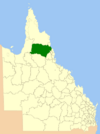 |
| Cassowary Coast Region | Innisfail | Far North Queensland | 2008 | 4,701 | 28,689 | Formed in 2008 from the Shires of Cardwell and Johnstone. | 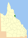 |
| Shire of Cook | Cooktown | Far North Queensland | 1919 | 106,188 | 4,388 | 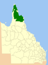 |
|
| Hopevale | Hopevale | Far North Queensland | 1986 | 1,118 | 1,125 | ||
| Aboriginal Shire of Kowanyama | Kowanyama | Far North Queensland | 1987 | 2,576 | 1,142 | 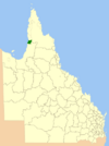 |
|
| Lockhart River | Lockhart River | Far North Queensland | 1987 | 3,545 | 548 | ||
| Mapoon Aboriginal Shire | Mapoon | Far North Queensland | 2002 | 530 | 294 | ||
| Napranum Aboriginal Shire | Napranum | Far North Queensland | 1989 | 1,995 | 962 | ||
| Northern Peninsula Area Region | Bamaga | Far North Queensland | 2008 | 1,030 | 2,714 | ||
| Aboriginal Shire of Pormpuraaw | Pormpuraaw | Far North Queensland | 1987 | 4,433 | 743 | 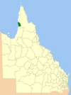 |
|
| Tablelands Region | Malanda | Far North Queensland | 2008 | 64,999 | 24,997 | Created in 2008 from four shires. The Shire of Mareeba later became separate again in 2014. | 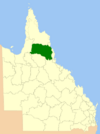 |
| Shire of Douglas | Mossman | Far North Queensland | 2014 | 2,436 | 11,661 | Douglas became its own shire again in 2014, after being part of the Cairns Region. | 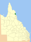 |
| Shire of Torres | Thursday Island | Far North Queensland | 1974 | 886 | 3,665 | ||
| Torres Strait Island Region | Thursday Island | Far North Queensland | 2008 | 489 | 4,635 | ||
| Weipa Town | Weipa | Far North Queensland | 1963 | 10.9 | 3,966 | This town is managed by a mining company, Rio Tinto Group, under its own special law. | |
| Wujal Wujal Aboriginal Shire | Wujal Wujal | Far North Queensland | 1987 | 11 | 296 | ||
| Aboriginal Shire of Yarrabah | Yarrabah | Far North Queensland | 1986 | 158 | 2,686 |  |
|
| Shire of Burke | Burketown | North West Queensland | 1885 | 40,126 | 562 | 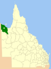 |
|
| Shire of Carpentaria | Normanton | North West Queensland | 1883 | 64,373 | 2,262 | 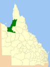 |
|
| Shire of Cloncurry | Cloncurry | North West Queensland | 1884 | 48,113 | 3,351 | 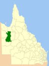 |
|
| Shire of Croydon | Croydon | North West Queensland | 1887 | 29,578 | 326 | 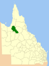 |
|
| Aboriginal Shire of Doomadgee | Doomadgee | North West Queensland | 1987 | 1,862 | 1,399 | 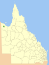 |
|
| Shire of Etheridge | Georgetown | North West Queensland | 1882 | 39,332 | 926 | 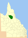 |
|
| Shire of Flinders | Hughenden | North West Queensland | 1882 | 41,538 | 1,792 | 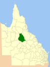 |
|
| Shire of McKinlay | Julia Creek | North West Queensland | 1891 | 40,880 | 1,062 | 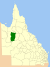 |
|
| Shire of Mornington | Gununa | North West Queensland | 1978 | 1,232 | 1,225 | ||
| City of Mount Isa | Mount Isa | North West Queensland | 1914 | 43,349 | 22,517 | 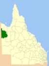 |
|
| Shire of Richmond | Richmond | North West Queensland | 1910 | 26,602 | 832 | 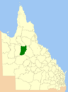 |
|
| Barcaldine Region | Barcaldine | Central West Queensland | 2008 | 53,677 | 3,342 | Created in 2008 by joining the Shires of Barcaldine, Aramac, and Jericho. | 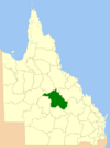 |
| Shire of Barcoo | Jundah | Central West Queensland | 1885 | 62,001 | 357 | 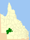 |
|
| Blackall-Tambo Region | Blackall | Central West Queensland | 2008 | 30,451 | 2,238 | Formed in 2008 by combining the Shires of Blackall and Tambo. | 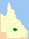 |
| Shire of Boulia | Boulia | Central West Queensland | 1887 | 61,102 | 490 | 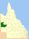 |
|
| Shire of Diamantina | Bedourie | Central West Queensland | 1879 | 94,823 | 288 | 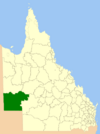 |
|
| Longreach Region | Longreach | Central West Queensland | 2008 | 40,638 | 4,092 | Created in 2008 by joining the Shires of Longreach, Ilfracombe, and Isisford. | 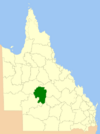 |
| Shire of Winton | Winton | Central West Queensland | 1886 | 53,935 | 1,359 | 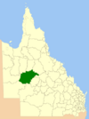 |
|
| Shire of Balonne | St George | South West Queensland | 1883 | 31,150 | 4,826 | 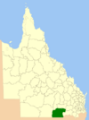 |
|
| Shire of Bulloo | Thargomindah | South West Queensland | 1880 | 73,807 | 396 | 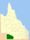 |
|
| Maranoa Region | Roma | South West Queensland | 2008 | 58,830 | 13,862 | First called the Roma Region in 2008, it was renamed Maranoa Region in 2009. It was formed from the Town of Roma and four shires. | 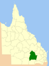 |
| Shire of Murweh | Charleville | South West Queensland | 1879 | 40,742 | 4,626 | 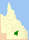 |
|
| Shire of Paroo | Cunnamulla | South West Queensland | 1879 | 47,714 | 1,841 | 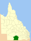 |
|
| Shire of Quilpie | Quilpie | South West Queensland | 1930 | 67,633 | 948 | 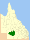 |
 | James B. Knighten |
 | Azellia White |
 | Willa Brown |


