Pratts Peak facts for kids
Quick facts for kids Pratts Peak |
|
|---|---|
| Highest point | |
| Geography | |
| Location | Antarctica |
| Parent range | Shackleton Range |
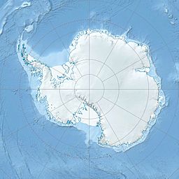
Pratts Peak is a rocky peak in Antarctica. It is located about 11 kilometers (7 miles) east of Mount Provender. This peak is found in the western part of the Shackleton Range.
Discovering Pratts Peak
Pratts Peak was first mapped in 1957. This mapping was done by the Commonwealth Trans-Antarctic Expedition (CTAE). Later, in 1967, the U.S. Navy took pictures of the peak. They used a special type of aerial photography called trimetrogon photography. This method uses three cameras at once to get a wide view from the air.
How Pratts Peak Got Its Name
The peak was named by the United Kingdom Antarctic Place-Names Committee (UK-APC). It was named after two people:
- David L. Pratt, who was an engineer.
- John G. D. Pratt, who was a geophysicist.
Both David and John Pratt were part of the transpolar party of the Commonwealth Trans-Antarctic Expedition. This group traveled across Antarctica between 1956 and 1958.
![]() This article incorporates public domain material from the United States Geological Survey document "Pratts Peak" (content from the Geographic Names Information System). Lua error in Module:EditAtWikidata at line 29: attempt to index field 'wikibase' (a nil value).
This article incorporates public domain material from the United States Geological Survey document "Pratts Peak" (content from the Geographic Names Information System). Lua error in Module:EditAtWikidata at line 29: attempt to index field 'wikibase' (a nil value).
 | Sharif Bey |
 | Hale Woodruff |
 | Richmond Barthé |
 | Purvis Young |


