Red River (New Zealand) facts for kids
Quick facts for kids Red River |
|
|---|---|
| Country | New Zealand |
| Region | Manawatū-Whanganui |
| District | Tararua |
| Physical characteristics | |
| Main source | 500 m (1,600 ft) 40°18′43″S 176°22′41″E / 40.31194°S 176.37806°E |
| River mouth | Ākitio River 150 m (490 ft) 40°22′12″S 176°20′38″E / 40.37000°S 176.34389°E |
| Length | 12 km (7.5 mi) |
| Basin features | |
| Progression | Red River → Ākitio River |
| River system | Ākitio River |
The Red River is a small river found on the North Island of New Zealand. It flows through the Manawatū-Whanganui region. This river is considered a minor waterway. It eventually flows into the Ākitio River, becoming part of that river system.
Where is the Red River?
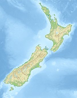
The Red River is located in New Zealand, a country made up of islands. Specifically, it is on the North Island. It flows through the Manawatū-Whanganui region. This area is known for its natural beauty. The river is also found within the Tararua District.
How Long is the Red River?
The Red River is not a very long river. It measures about 12 kilometers (or 7.5 miles) in length. This makes it a smaller river compared to many others around the world. Its short length means it travels a relatively quick journey from its start to its end.
Where Does the Red River Start and End?
The Red River begins its journey at an elevation of about 500 meters (which is about 1,600 feet) above sea level. From there, it flows downhill. The river ends when it joins the Ākitio River. This meeting point is at an elevation of about 150 meters (or 490 feet) above sea level. So, the Red River drops quite a bit in height during its short flow.
 | Emma Amos |
 | Edward Mitchell Bannister |
 | Larry D. Alexander |
 | Ernie Barnes |


