Ringuelet, Buenos Aires facts for kids
Quick facts for kids
Ringuelet
|
|
|---|---|
|
Town
|
|
| Country | |
| Province | |
| Partido | La Plata |
| Elevation | 6 m (20 ft) |
| Population
(2001 Census)
|
|
| • Total | 13,473 |
| Time zone | UTC−3 (ART) |
| CPA Base |
B 1901
|
| Climate | Dfc |
Ringuelet is a town located in Argentina. It is part of the La Plata Partido in the Buenos Aires Province. This means it's a smaller area within a larger region, much like a town in a county within a state.
Contents
Where is Ringuelet?
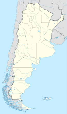
Ringuelet is found in the eastern part of Argentina. It's close to the city of La Plata, which is the capital of the Buenos Aires Province. Being near a big city means residents can easily access more services and opportunities.
Its Location on the Map
The town's exact location is given by its coordinates: 34 degrees, 53 minutes, 16 seconds South, and 57 degrees, 59 minutes, 9 seconds West. These numbers help pinpoint Ringuelet on a global map. It is only about 6 meters (around 20 feet) above sea level, which is quite low.
How Many People Live There?
According to the 2001 Census, about 13,473 people lived in Ringuelet. This makes it a medium-sized town. It's not a huge city, but it's also not a tiny village.
What is the Climate Like?
Ringuelet has what is called an "Oceanic climate." This type of climate is often found near oceans. It usually means the weather is mild, without extreme hot or cold temperatures.
Understanding the Climate Code
The climate is specifically classified as "Dfc." This code comes from the Köppen climate classification system. It tells us more about the temperature and rainfall patterns throughout the year. Generally, an oceanic climate means cool summers and mild winters, with rainfall spread fairly evenly.
See also
 In Spanish: Ringuelet (La Plata) para niños
 | Sharif Bey |
 | Hale Woodruff |
 | Richmond Barthé |
 | Purvis Young |


