Sabalito facts for kids
Quick facts for kids
Sabalito
|
|
|---|---|
|
District
|
|
| Country | |
| Province | Puntarenas |
| Canton | Coto Brus |
| Creation | 10 December 1965 |
| Area | |
| • Total | 186.82 km2 (72.13 sq mi) |
| Elevation | 900 m (3,000 ft) |
| Population
(2011)
|
|
| • Total | 10,984 |
| • Density | 58.795/km2 (152.277/sq mi) |
| Time zone | UTC−06:00 |
| Postal code |
60802
|
Sabalito is a district found in the Coto Brus canton. This canton is part of the Puntarenas province in Costa Rica. It is an important area within the country.
Contents
History of Sabalito
Sabalito became an official district on December 10, 1965. This happened when a special law, called Ley 3598, was passed. This law formally recognized Sabalito as a distinct part of the canton.
Geography and Landscape
Sabalito covers an area of about 186.82 square kilometers. That's like a square with sides about 13.6 kilometers long! The district is located at an elevation of 900 meters above sea level. This means it's quite high up, offering different landscapes and climates compared to coastal areas.
Population and Demographics
| Historical population | |||
|---|---|---|---|
| Census | Pop. | %± | |
| 1973 | 5,802 | — | |
| 1984 | 9,063 | 56.2% | |
| 2000 | 11,084 | 22.3% | |
| 2011 | 10,984 | −0.9% | |
|
Instituto Nacional de Estadística y Censos |
|||
According to the 2011 census in Costa Rica, Sabalito had a population of 10,984 people. The population has grown over the years, showing how the district has developed.
Transportation and Roads
Road Connections in Sabalito
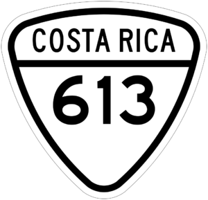
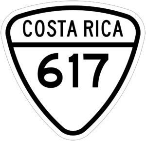
Several important roads connect Sabalito to other places. These roads help people travel and transport goods. The district is served by the following national road routes:
- National Route 613
- National Route 617
Economy and Work
Most people living in Sabalito work in local ranches and farms. They also work in other jobs that involve manual labor. This means the economy of Sabalito is largely based on agriculture and hands-on work.
See also
 In Spanish: Sabalito para niños


