San José de la Montaña District facts for kids
Quick facts for kids
San José de la Montaña
|
|
|---|---|
|
District
|
|

San José de la la Montaña, Barva, Heredia
|
|
| Country | |
| Province | Heredia |
| Canton | Barva |
| Creation | 5 July 1954 |
| Area | |
| • Total | 36.82 km2 (14.22 sq mi) |
| Elevation | 1,530 m (5,020 ft) |
| Population
(2011)
|
|
| • Total | 5,377 |
| • Density | 146.03/km2 (378.23/sq mi) |
| Time zone | UTC−06:00 |
| Postal code |
40206
|
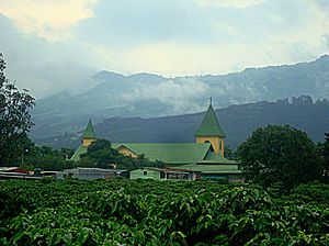
San José de la Montaña is a special area called a district. It is part of the Barva canton, which is in the Heredia province of Costa Rica. This district is known for its beautiful mountain views.
Contents
History
San José de la Montaña was officially created on July 5, 1954. It became a district through a special government order.
Geography
This district covers an area of about 36.82 square kilometers (about 14.2 square miles). It is located high up, at an elevation of 1,530 meters (about 5,019 feet) above sea level. This high elevation often means cooler temperatures and lush green landscapes.
People
| Historical population | |||
|---|---|---|---|
| Census | Pop. | %± | |
| 1963 | 1,541 | — | |
| 1973 | 2,081 | 35.0% | |
| 1984 | 2,782 | 33.7% | |
| 2000 | 3,801 | 36.6% | |
| 2011 | 5,377 | 41.5% | |
|
Instituto Nacional de Estadística y Censos |
|||
In 2011, a count of all the people living in Costa Rica was done. This count, called a census, showed that San José de la Montaña had 5,377 people living there.
Getting Around
Road Travel
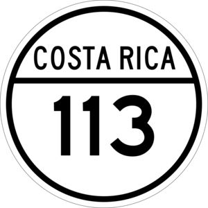
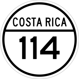
You can get to and around San José de la Montaña using roads. The district is connected by two main road routes:
- National Route 113
- National Route 114
See also
 In Spanish: San José de la Montaña (Costa Rica) para niños
 | Charles R. Drew |
 | Benjamin Banneker |
 | Jane C. Wright |
 | Roger Arliner Young |


