San Vicente, Moravia facts for kids
Quick facts for kids
San Vicente
|
|
|---|---|
|
District
|
|
| Country | |
| Province | San José |
| Canton | Moravia |
| Area | |
| • Total | 5.39 km2 (2.08 sq mi) |
| Elevation | 1,231 m (4,039 ft) |
| Population
(2011)
|
|
| • Total | 30,998 |
| • Density | 5,751/km2 (14,895/sq mi) |
| Time zone | UTC−06:00 |
| Postal code |
11401
|
San Vicente is a special area called a district in the Moravia region. It's part of the San José province in Costa Rica.
Contents
Exploring San Vicente's Geography
San Vicente covers about 5.39 square kilometers. That's like a small town! It sits high up, about 1,231 meters above sea level.
Neighborhoods and Locations
The district of San Vicente includes its main city and many neighborhoods. In 2009, some of these areas were: Alondra, Americano, Américas, Bajo Isla, Bajo Varelas, Barro de Olla, Caragua, Carmen, Colegios, Colegios Norte, Chaves, El Alto (part of), Flor, Florencia, Guaria, Guaria Oriental, Isla, Jardines de Moravia, La Casa, Ladrillera, Robles, Romeral, Sagrado Corazón, San Blas, San Jorge, San Martín, San Rafael, Santa Clara (part of), Santo Tomás and Saprissa.
Education and Culture
The Escuela Japonesa de San José is a special school for Japanese students in Costa Rica. It is located right here in San Vicente. It is the only Japanese international school in the country.
Population and People
In 2011, San Vicente had a population of 30,998 people. Over the years, the number of people living here has grown quite a bit:
| Historical population | |||
|---|---|---|---|
| Census | Pop. | %± | |
| 1864 | 979 | — | |
| 1883 | 1,194 | 22.0% | |
| 1892 | 1,664 | 39.4% | |
| 1927 | 1,881 | 13.0% | |
| 1950 | 4,451 | 136.6% | |
| 1963 | 9,188 | 106.4% | |
| 1973 | 15,552 | 69.3% | |
| 1984 | 24,661 | 58.6% | |
| 2000 | 31,693 | 28.5% | |
| 2011 | 30,998 | −2.2% | |
|
Instituto Nacional de Estadística y Censos |
|||
Getting Around San Vicente
Main Road Routes
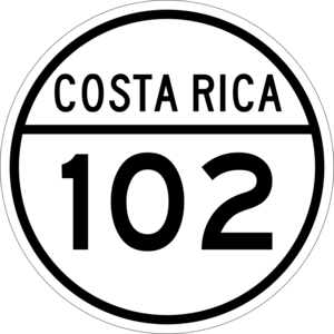
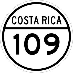
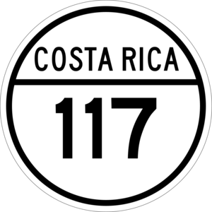
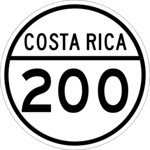
Several important roads pass through San Vicente, making it easy to travel around. These include:
- National Route 102
- National Route 109
- National Route 117
- National Route 200
See also
 In Spanish: San Vicente de Moravia para niños
 | Delilah Pierce |
 | Gordon Parks |
 | Augusta Savage |
 | Charles Ethan Porter |


