Sandford, Indiana facts for kids
Quick facts for kids
Sandford, Indiana
|
|
|---|---|

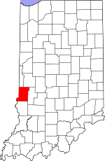
Vigo County's location in Indiana
|
|
| Country | United States |
| State | Indiana |
| County | Vigo |
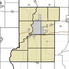
| Township | Fayette |
| Elevation | 630 ft (192 m) |
| Time zone | UTC-5 (Eastern (EST)) |
| • Summer (DST) | UTC-4 (EDT) |
| ZIP code |
47885
|
| Area code(s) | 812, 930 |
| FIPS code | 18-67824 |
| GNIS feature ID | 442999 |
Sandford is a small community in Vigo County, Indiana, in the United States. It's called an "unincorporated community" because it doesn't have its own local government like a city or town. It's part of Fayette Township. Sandford is also close to Terre Haute, a bigger city in Indiana. A small part of Sandford, sometimes called West Sandford, is actually in Illinois.
A Look Back: Sandford's History
Sandford was started in 1854 right on the border between Illinois and Indiana. When the Indianapolis & St. Louis Railroad was built, Sandford became an important town in the area. In 1890, about 250 people lived there.
A post office opened in Sandford in 1855. It helped people send and receive mail for many years. The post office stayed open until 1995.
On January 19, 1907, a serious accident happened in Sandford. An explosion occurred in a freight car carrying nitroglycerin. This happened as a passenger train was passing by.
Where is Sandford?
Sandford is located at 39°32′43″N 87°31′50″W / 39.54528°N 87.53056°W. This means it is in the western part of Indiana. It is close to the state line with Illinois.


