Scotchtown, Indiana facts for kids
Quick facts for kids
Scotchtown, Indiana
|
|
|---|---|

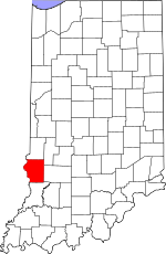
Sullivan County's location in Indiana
|
|
| Country | United States |
| State | Indiana |
| County | Sullivan |
| Township | Cass |
| Elevation | 509 ft (155 m) |
| Time zone | UTC-5 (Eastern (EST)) |
| • Summer (DST) | UTC-4 (EDT) |
| ZIP code |
47882
|
| Area code(s) | 812, 930 |
| GNIS feature ID | 443133 |
Scotchtown is a small place in Indiana, a state in the United States. It is called an "unincorporated community." This means it's a group of homes and businesses that isn't officially a town or city with its own local government.
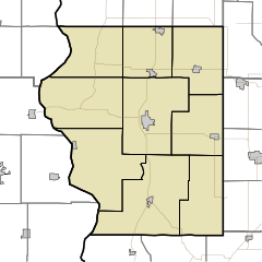
Scotchtown is located in Cass Township, which is a smaller area within Sullivan County. It is also part of the Terre Haute Metropolitan Statistical Area. This simply means it's near the larger city of Terre Haute and shares some economic connections with it.
Where is Scotchtown Located?
Scotchtown is found at these coordinates: 39°04′30″N 87°17′52″W / 39.07500°N 87.29778°W. This is a way to pinpoint its exact spot on a map using latitude and longitude. It is in the southwestern part of Indiana.
Black History Month on Kiddle
Famous African-American Athletes:
 | Tommie Smith |
 | Simone Manuel |
 | Shani Davis |
 | Simone Biles |
 | Alice Coachman |

All content from Kiddle encyclopedia articles (including the article images and facts) can be freely used under Attribution-ShareAlike license, unless stated otherwise. Cite this article:
Scotchtown, Indiana Facts for Kids. Kiddle Encyclopedia.

