Sibleyville, Kansas facts for kids
Quick facts for kids
Sibleyville, Kansas
|
|
|---|---|

|
|
| Country | United States |
| State | Kansas |
| County | Douglas |
| Elevation | 824 ft (251 m) |
| Time zone | UTC-6 (CST) |
| • Summer (DST) | UTC-5 (CDT) |
| Area code | 785 |
| FIPS code | 20-65435 |
| GNIS ID | 484876 |
Sibleyville is a small place in Douglas County, Kansas, United States. It is known as an "unincorporated community." This means it doesn't have its own local government like a city or town.
About Sibleyville
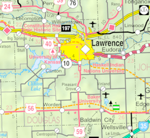
Sibleyville is located about five miles southeast of Lawrence. It was once found where County Road 458 met the old Leavenworth, Lawrence and Fort Gibson railroad tracks.
A Small Community
Sibleyville was never a very big place. It had only a few houses, usually less than a dozen. It was more like a tiny settlement than a bustling town.
What Remains Today
Over time, Sibleyville became even smaller. By the 1960s, not much was left of the original community. Today, it is mostly just a historical location.
Black History Month on Kiddle
African-American Astronauts:
 | Victor J. Glover |
 | Yvonne Cagle |
 | Jeanette Epps |
 | Bernard A. Harris Jr. |

All content from Kiddle encyclopedia articles (including the article images and facts) can be freely used under Attribution-ShareAlike license, unless stated otherwise. Cite this article:
Sibleyville, Kansas Facts for Kids. Kiddle Encyclopedia.


