South Cheektowaga, New York facts for kids
Quick facts for kids
South Cheektowaga
|
|
|---|---|
|
Neighborhood
|
|
| Country | United States |
| State | New York |
| County | Erie County |
| Time zone | UTC-5 (EST) |
| • Summer (DST) | UTC-4 (EDT) |
| ZIP code |
14225/14227
|
| Area code(s) | 716 |
South Cheektowaga is a neighborhood located in the town of Cheektowaga, in Erie County, New York, United States. It sits close to the West Seneca border, near French Road.
This area is home to the large South Line Fire Company, which helps keep the community safe. You can also find Stigimeier Park, also known as Losson Park, here. This park has nature trails where you can explore and sports areas used by local teams. Groups like the South Cheektowaga Baseball Association and the Cheektowaga Recreation Department use these fields. Right next to the park is the Reinstein Woods Nature Preserve, a special protected area managed by the DEC (Department of Environmental Conservation). South Cheektowaga is mostly a place where people live, with a few bigger stores along the main roads.
Getting Around South Cheektowaga
South Cheektowaga has several important roads that help people travel through the area and connect to other towns.
Major Roads in the Area
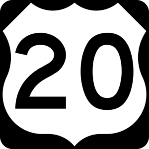
- U.S. Route 20 (also called Transit Road) runs north and south. It shares its path with NY 78 along the eastern edge of Cheektowaga, near Lancaster, south of Depew.
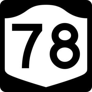
- New York State Route 78 (also Transit Road) is another north-south road. It forms the eastern border of Cheektowaga with Lancaster, north of Depew.
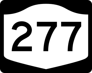
- New York State Route 277 (Union Road) is a north-south highway that goes through the town, from West Seneca up to Amherst.
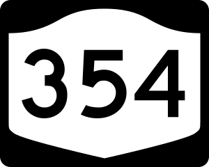
- New York State Route 354 (Clinton Street) is an east-west road. It passes through the very southwestern part of the town and forms the southern border with West Seneca.
 | Jessica Watkins |
 | Robert Henry Lawrence Jr. |
 | Mae Jemison |
 | Sian Proctor |
 | Guion Bluford |


