Staffordsville, Virginia facts for kids
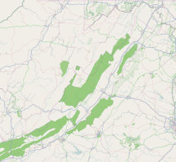
Staffordsville is a small, quiet place in Giles County, Virginia, in the United States. It's known as an "unincorporated community." This means it's a group of homes and businesses that aren't officially a town or city with its own local government. Instead, it's part of the larger county.
Quick facts for kids
Staffordsville, Virginia
|
|
|---|---|
|
Unincorporated community
|
|
| Country | United States |
| State | Virginia |
| County | Giles |
| Elevation | 1,916 ft (584 m) |
| Time zone | UTC−5 (Eastern (EST)) |
| • Summer (DST) | UTC−4 (EDT) |
| ZIP code |
24167
|
| Area code(s) | 540 |
| GNIS feature ID | 1500147 |
Discovering Staffordsville
Staffordsville is a small community located in Giles County, Virginia. It's a peaceful spot in the United States.
Where is Staffordsville?
This community is found along Virginia State Route 100. This is an important road that helps people travel through the area. Staffordsville also sits next to Walker Creek. This creek adds to the natural beauty of the place.
Staffordsville is about 6 miles (10 kilometers) south of a larger town called Pearisburg. This makes it easy for residents to visit Pearisburg for supplies or other needs.
Post Office and ZIP Code
Even though it's a small community, Staffordsville has its own post office. This helps people send and receive mail. The unique ZIP code for Staffordsville is 24167.
 | Toni Morrison |
 | Barack Obama |
 | Martin Luther King Jr. |
 | Ralph Bunche |


