Stubbs, Kansas facts for kids
Quick facts for kids
Stubbs, Kansas
|
|
|---|---|

|
|
| Country | United States |
| State | Kansas |
| County | Barber |
| Elevation | 1,378 ft (420 m) |
| Time zone | UTC-6 (CST) |
| • Summer (DST) | UTC-5 (CDT) |
| Area code | 620 |
| FIPS code | 20-68675 |
| GNIS ID | 484526 |
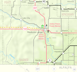
Stubbs is a small, unincorporated community located in Barber County, Kansas, in the United States. An unincorporated community means it's a place where people live, but it doesn't have its own local government like a city or town.
You can find Stubbs about 4.5 miles (or 7.2 kilometers) west of a larger town called Kiowa. It sits at an elevation of about 1,378 feet (420 meters) above sea level. This community is part of the Central Time Zone. If you ever needed to call someone there, the area code would be 620.
Black History Month on Kiddle
African-American Labor Activists
 | William Lucy |
 | Charles Hayes |
 | Cleveland Robinson |

All content from Kiddle encyclopedia articles (including the article images and facts) can be freely used under Attribution-ShareAlike license, unless stated otherwise. Cite this article:
Stubbs, Kansas Facts for Kids. Kiddle Encyclopedia.


