Swin (Thames) facts for kids
Quick facts for kids Swin |
|
|---|---|

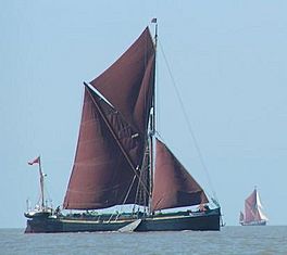
A Thames sailing barge, with its special red-brown sails, in the East Swin.
|
|
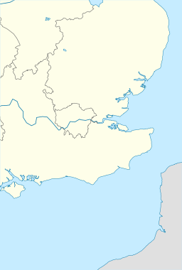
| Coordinates | 51°39′N 01°10′E / 51.650°N 1.167°E |
| Part of | Thames Estuary |
The Swin is a special water path in the Thames Estuary. It's like a watery highway for boats. It runs between sandy areas like Maplin Sands and Foulness Island on one side, and other sand ridges called Barrow and Sunk on the other.
For a long time, the Swin has been used by many different types of boats. These include barges and small pleasure boats from rivers in Essex. Bigger ships, like coasters and colliers (which carried coal), also used it. They came from places like Kingston upon Hull, Grimsby, and Edinburgh.
In 1874, a writer named R. M. Ballantyne described the Swin. He said it was very busy, even though the biggest ships didn't use it. He mentioned that many coasting and coal-carrying vessels, along with boats from the east country, traveled through it. He wrote that on a nice day, you could see countless boats moving back and forth as far as your eyes could see.
The Swin is not just one straight path. It's made up of several deeper water channels that wind through many sandbanks. When boats come from the northeast, they enter a part called the East Swin. This area is also known as the King's Channel. From there, boats can choose different routes, like the Middle Deep, or they can continue along the East Swin.
Some boats might also use a parallel channel called the Wallet and then cross into the East Swin. For larger ships, there's a point where they need to move into the Middle Deep because the East Swin becomes too shallow. Smaller boats, like the old Thames sailing barges, can keep going down the East Swin and cross directly into the West Swin. All these different paths eventually lead to the West Swin, which then connects to the main channels of the Thames.
What Does "Swin" Mean?
The name "Swin" comes from an old English word. It means a "creek" or a "channel." People wrote it as Swyn back in 1365. There's a similar word, 'zwin,' in Dutch, which also means a water channel.
How Deep Is the Swin?
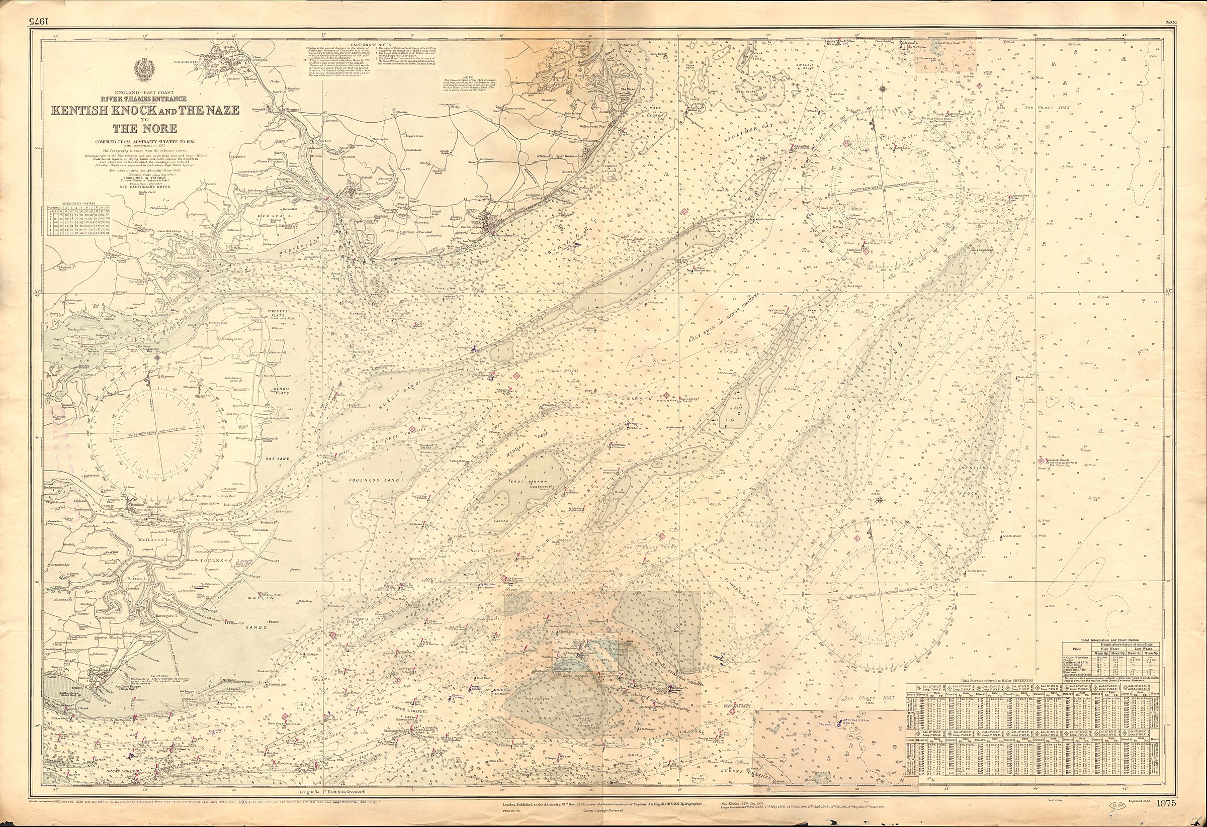
When you look at old maps of the sea, you might see numbers that show how deep the water is. For example, a depth of 11 means one fathom and one foot. A fathom is a way to measure depth, and it's equal to six feet. So, 11 means the water is 7 feet deep (6 feet + 1 foot).
This map shows how detailed these charts are. You can clearly see the shallow areas. These shallow spots are very important because they can be dangerous for larger ships that need a lot of water under them to float safely.
 | Shirley Ann Jackson |
 | Garett Morgan |
 | J. Ernest Wilkins Jr. |
 | Elijah McCoy |


