Temple, Indiana facts for kids
Quick facts for kids
Temple
|
|
|---|---|
| Country | United States |
| State | Indiana |
| County | Crawford |
| Township | Sterling |
| Elevation | 584 ft (178 m) |
| ZIP code |
47118
|
| FIPS code | 18-75266 |
| GNIS feature ID | 444626 |
Temple is a small, unincorporated community located in Sterling Township, within Crawford County, Indiana, in the United States. An unincorporated community is a place that doesn't have its own local government, like a city or town. Instead, it's usually managed by the county.
Contents
History of Temple, Indiana
How Temple Got Its Name
The community of Temple was founded by a person named James L. Temple. He was the one who planned out the area, and the place was named after him. It's common for towns and communities to be named after their founders or important early settlers.
The Temple Post Office
A post office was opened in Temple in the year 1884. This meant that people living in Temple could send and receive mail right in their own community. Having a post office was very important for communication and business back then. The post office served the community for many years until it closed down in 1940. After it closed, residents likely had to go to a nearby town to send or pick up their mail.
Where is Temple Located?
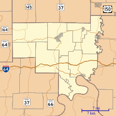
Temple is situated in the southern part of Indiana. Its exact location can be described using geographic coordinates: 38 degrees, 20 minutes, 40 seconds North latitude and 86 degrees, 24 minutes, 57 seconds West longitude. This means it's in the Northern Hemisphere and west of the Prime Meridian. The community sits at an elevation of 584 feet (about 178 meters) above sea level.


