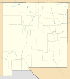
Tinnie, New Mexico facts for kids
Quick facts for kids
Tinnie, New Mexico
|
|
|---|---|
| Country | United States |
| State | New Mexico |
| County | Lincoln |
| Elevation | 5,171 ft (1,576 m) |
| Time zone | UTC-7 (Mountain (MST)) |
| • Summer (DST) | UTC-6 (MDT) |
| ZIP codes |
88351
|
| Area code(s) | 575 |
| GNIS feature ID | 923707 |
Tinnie is a small place in Lincoln County, New Mexico, in the United States. It is known as an unincorporated community. This means it's a group of homes and businesses that isn't officially a town or city with its own local government.
Discover Tinnie, New Mexico
Tinnie is found along U.S. Route 70. This is an important road that helps people travel through the area. It is about 22 miles east of a place called Ruidoso Downs.
What is an Unincorporated Community?
An unincorporated community like Tinnie does not have its own local government. Instead, it is managed by the larger county government. Even without a city hall, Tinnie still has a post office where people can send and receive mail. The ZIP code for Tinnie is 88351.
Black History Month on Kiddle
Prominent African-American Women
 | Claudette Colvin |
 | Myrlie Evers-Williams |
 | Alberta Odell Jones |

All content from Kiddle encyclopedia articles (including the article images and facts) can be freely used under Attribution-ShareAlike license, unless stated otherwise. Cite this article:
Tinnie, New Mexico Facts for Kids. Kiddle Encyclopedia.


