Toronto, Indiana facts for kids
Quick facts for kids
Toronto, Indiana
|
|
|---|---|

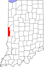
Vermillion County's location in Indiana
|
|
| Country | United States |
| State | Indiana |
| County | Vermillion |
| Township | Helt |
| Elevation | 636 ft (194 m) |
| Time zone | UTC-5 (Eastern (EST)) |
| • Summer (DST) | UTC-4 (EDT) |
| ZIP code |
47847
|
| Area code(s) | 765 |
| GNIS feature ID | 452163 |
Toronto is what people call a 'ghost town' in Indiana, a state in the United States. It's located in Vermillion County, specifically in Helt Township.
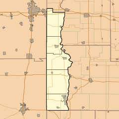
You can find its location near Indiana State Road 71, close to where the states of Illinois and Indiana meet. Even though most people have moved away, a few buildings are still there. The U.S. Geological Survey (USGS) still lists it on their maps.
A Look Back: Toronto's History
Toronto once had its own post office! It opened way back in 1838. This office helped people send and receive letters and packages. It stayed open for many years. However, in 1912, the post office closed down for good. This was a sign that fewer people were living in Toronto.
Where is Toronto Located?
Toronto is found at specific coordinates on a map. These are 39 degrees, 46 minutes, 54 seconds North and 87 degrees, 29 minutes, 44 seconds West. These numbers help pinpoint its exact spot on Earth. It is in Vermillion County, Indiana.
 | Janet Taylor Pickett |
 | Synthia Saint James |
 | Howardena Pindell |
 | Faith Ringgold |


