Travisville, Indiana facts for kids
Quick facts for kids
Travisville, Indiana
|
|
|---|---|

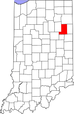
Wells County's location in Indiana
|
|
| Country | United States |
| State | Indiana |
| County | Wells |
| Township | Harrison |
| Elevation | 843 ft (257 m) |
| Time zone | UTC-5 (Eastern (EST)) |
| • Summer (DST) | UTC-4 (EDT) |
| ZIP code |
46714
|
| Area code(s) | 260 |
| GNIS feature ID | 444860 |
Travisville is a small place in Indiana, a state in the United States. It's what we call an unincorporated community. This means it's a group of homes and buildings that isn't officially a town or city with its own local government. Instead, it's part of a larger area called Harrison Township in Wells County.
Where is Travisville?
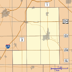
Travisville is located in Wells County, which is in the state of Indiana. It sits in Harrison Township. The community is about 843 feet (257 meters) above sea level.
If you were looking at a map, Travisville is found at these coordinates: 40°41′31″N 85°12′29″W. It uses the ZIP code 46714 and the 260 area code.
History
Travisville got its name from a person named John Travis. He was the one who first planned out the community.
A post office was opened in Travisville in 1873. It was called "Travis." However, the post office didn't stay open for very long. It closed down just four years later, in 1877.
 | Isaac Myers |
 | D. Hamilton Jackson |
 | A. Philip Randolph |


