Treverbyn facts for kids
Treverbyn is a village and a local area (called a civil parish) in the middle of Cornwall, England. It is located just north of the town of St Austell.
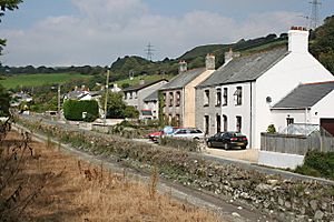
This parish includes several villages and smaller communities. Some of the main ones are Treverbyn itself, Carclaze, Stenalees, Penwithick, and Bugle. Bugle is actually the largest of these villages. Other places like Carthew, Ruddlemoor, and Scredda are also part of Treverbyn parish. In 2011, about 8,016 people lived in the whole parish. You can find a train station in Bugle.
Contents
Exploring Treverbyn's Geography
Hensbarrow Beacon is a high point near Stenalees. It is the tallest spot in the area known as the St Austell Downs.
The main Treverbyn village is on the eastern edge of Stenalees. This is where you will find St Peter's, the parish church. There is also another small community, or hamlet, called Treverbyn located east of Penwithick.
A Look into Treverbyn's Past

Treverbyn has a long history. It was mentioned in the Domesday Book in 1086. This was a very old survey of land in England ordered by William the Conqueror. At that time, Treverbyn was a "manor," which means it was a large estate or area of land. It was one of many manors owned by a person named Richard.
The Treverbyn parish, as we know it today, was officially created in 1846. It was formed from the northern part of the larger St Austell parish.
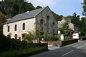
The local church, St Peter the Apostle, was built between 1848 and 1850. It was designed by a famous architect named G. E. Street. The church's design is known for being simple and elegant.
Mining in Treverbyn
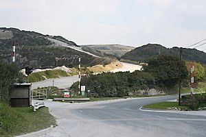
This area was once very important for mining. People used to dig for tin and copper here. Later, in the 1800s, large "china clay" works were started. China clay is a special type of clay used to make things like pottery and paper. One of the biggest china clay pits was at Carclaze.
You can visit the Wheal Martyn Museum in Ruddlemoor. This museum teaches you all about the history of china clay mining. Part of the area around Wheal Martyn is a special protected site called a SSSI (Site of Special Scientific Interest). It is important because it shows great examples of granite rock. Another SSSI in the parish is Carn Grey Rock and Quarry, also known for its interesting geology.
The Eco-town Project
In 2009, a company called Imerys announced plans for a new "eco-town" in the area. This project would build up to 2,000 new homes in places called Baal Pit and West Carclaze. An eco-town is designed to be environmentally friendly. This project was estimated to cost around £9 million.
Did you know? The Baal Pit quarry was used as a filming location! It appeared in a 1971 episode of the TV show Doctor Who called Colony in Space. The quarry looked like the surface of an alien planet called Uxarieus.
Cornish Wrestling Tradition
Cornish wrestling is a traditional sport from Cornwall. In the 1800s and 1900s, wrestling tournaments were often held in a field behind the Carthew Inn in Carthew.
 | James B. Knighten |
 | Azellia White |
 | Willa Brown |


