Varablanca facts for kids
Quick facts for kids
Varablanca
|
|
|---|---|
|
District
|
|
| Country | |
| Province | Heredia |
| Canton | Heredia |
| Creation | 5 July 1971 |
| Area | |
| • Total | 258.05 km2 (99.63 sq mi) |
| Elevation | 1,804 m (5,919 ft) |
| Population
(2011)
|
|
| • Total | 700 |
| • Density | 2.71/km2 (7.0/sq mi) |
| Time zone | UTC−06:00 |
| Postal code |
40105
|
Varablanca is a special area called a district in Costa Rica. It is located in the Heredia province, which is part of the Heredia canton.
The main town of Varablanca sits between two big volcanoes, Poas Volcano and Barva Volcano. This makes it a very important spot for travel. It connects the northern parts of Costa Rica, like the Sarapiqui River area, to the main city area of San Jose. On January 8, 2009, a strong earthquake, known as the Cinchona earthquake, hit the area.
Contents
A Look at Varablanca's Past
Varablanca was officially created on July 5, 1971. This happened through a special rule that separated it from two other districts, Puerto Viejo and Dulce Nombre de Jesús.
Exploring Varablanca's Geography
Varablanca covers an area of about 258 square kilometers. It is located high up, at an elevation of about 1,804 meters above sea level.
Who Lives in Varablanca?
| Historical population | |||
|---|---|---|---|
| Census | Pop. | %± | |
| 1973 | 525 | — | |
| 1984 | 569 | 8.4% | |
| 2000 | 690 | 21.3% | |
| 2011 | 700 | 1.4% | |
|
Instituto Nacional de Estadística y Censos |
|||
According to the 2011 census, about 700 people lived in Varablanca.
Getting Around Varablanca
Road Connections
The district has important roads that help people travel. These include:
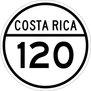
- National Route 120
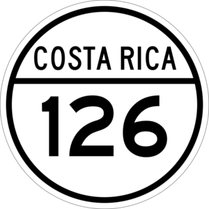
- National Route 126
See also
 In Spanish: Vara Blanca para niños
 | John T. Biggers |
 | Thomas Blackshear |
 | Mark Bradford |
 | Beverly Buchanan |


