Wikiatlas facts for kids
The Wikiatlas is also known as the Wikimedia Atlas of the World. It's a huge collection of maps found on the Wikimedia Commons website. Think of it like a giant online atlas, but instead of a book, it's part of a website where people share useful media. It has thousands of pages filled with maps about countries, continents, and different parts of the world.
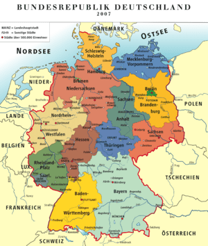
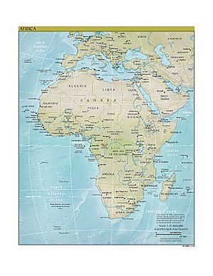
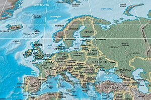
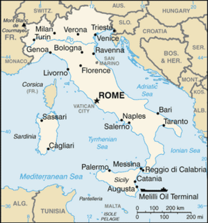
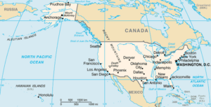
The Wikiatlas helps you explore maps of places like Europe, Africa, North America, Asia, and Oceania. You can also find maps for specific countries such as the U.S.A., Italy, Germany, and China. Even some U.S. states like Texas and California have their own map collections here!
Unlike other Wikimedia projects like Wikibooks (which are online books) or Wikisource (which stores original documents), the Wikiatlas isn't a separate website. Instead, it's a big part of the main Wikimedia website. There are many thousands of maps available in the Wikiatlas for you to discover.
| Groups of Maps | |
|---|---|
|
Atlas of Europe |
|
Contents
How Wikiatlas Maps Are Organized
The Wikiatlas organizes its maps in a simple way. All maps are grouped together, just like in a printed world atlas. Each group of maps has a page named "Atlas of..." followed by the name of the continent, country, or region.
For example, you can find map collections for:
There are also "Atlas of..." pages for many nations and regions around the world, such as:
Some U.S. states also have their own Wikiatlas pages. These include:
In total, there are hundreds of Wikiatlas pages covering over 200 nations and more than 94 other regions worldwide!
How Wikiatlas Pages Look
Many pages in the Wikiatlas have a special layout. The maps are usually shown down the left side of the page. The text that explains the maps is on the right side. The descriptions for each country, territory, or region are often written first in the official language of that area. Then, they are translated into other languages, including English.
Because the Wikiatlas is a "wiki" project, it's built by volunteers from the Wikimedia community. This means that how much detail you find can be different from one section to another. Some map collections are very complete, while others might be more basic. It all depends on how much time the volunteer writers have spent on them.
The History of Wikiatlas
The idea for the Wikiatlas started with discussions on the Wikimedia website way back in 2003. At first, people thought about creating a system that could automatically make maps just by giving it location coordinates.
However, they soon realized that maps could show much more than just where a place is. Maps can also show things like economic areas, how much rain falls, average temperatures, political borders, and even where earthquake fault lines are. So, the project grew into the huge collection of maps we see today.
Thousands of maps were gathered over the years. By June 2005, the Wikiatlas project was still quite new and needed more structure. In April 2006, it was even mentioned at an archaeology conference as a "nascent" (meaning just beginning) project.
Finally, in mid-2007, a clear page format was created using special MediaWiki template files. Hundreds of Wikimedia and Wikipedia editors worked together. They wrote descriptions in over 100 languages and uploaded or changed thousands of map images. Some of these maps were moved over from Wikipedia's image pages.
Who Uses Wikiatlas?
We don't have exact numbers for how many people look at Wikiatlas pages specifically. However, we know about the general audience for the entire Wikimedia website. In early 2009, nearly 50% of Wikimedia's readers were from these countries: United States (24.5%), Germany (10.7%), India (5.7%), United Kingdom (4.0%), and Italy (3.5%). This gives us an idea of where people who use Wikimedia projects, including the Wikiatlas, are located.


