Agua Caliente Mountains facts for kids
Quick facts for kids Agua Caliente Mountains |
|
|---|---|
| Highest point | |
| Peak | Morris Peak |
| Elevation | 1,240 ft (380 m) |
| Geography | |
| Country | United States |
| State | Arizona |
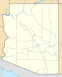
The Agua Caliente Mountains are a small mountain range. They are located in the southwestern part of Arizona. You can find them mostly in Yuma County. A small part also extends into Maricopa County.
Exploring the Agua Caliente Mountains
These mountains might be small, but they are an important part of the Arizona landscape. They rise out of the flat desert plains. This makes them easy to spot from a distance.
Where Are They Located?
The Agua Caliente Mountains are in a desert area. The town of Hyder is just north of the range. A railway line, the Union Pacific, also runs nearby. Hyder Road is another landmark in this area.
To the south of the mountains, you'll find the community of Agua Caliente. The famous Gila River also flows to the south. This river is a major waterway in Arizona.
What's the Highest Point?
The tallest part of the Agua Caliente Mountains is called Morris Peak. This peak reaches a height of 1,240 ft (380 m). That's about 700 ft (210 m) higher than the desert around it! Morris Peak is located in the northwest part of the range. It stands tall in Yuma County.
 | Victor J. Glover |
 | Yvonne Cagle |
 | Jeanette Epps |
 | Bernard A. Harris Jr. |


