Alexander 134 facts for kids
Quick facts for kids
Alexander 134
|
|
|---|---|
| Alexander Indian Reserve No. 134 | |

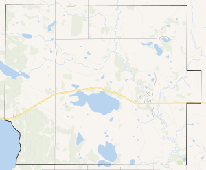
Boundaries of Alexander 134
|
|

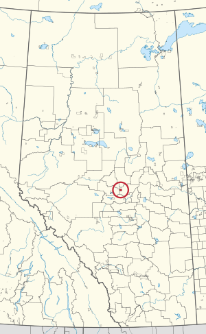
Location in Alberta
|
|
| First Nation | Alexander First Nation |
| Treaty | 6 |
| Country | Canada |
| Province | Alberta |
| Municipal district | Sturgeon County |
| Formed | 1882 |
| Area | |
| • Total | 68.39 km2 (26.41 sq mi) |
| Elevation | 695 m (2,280 ft) |
| Population
(2016)
|
|
| • Total | 1,099 |
| • Density | 16.070/km2 (41.620/sq mi) |
| Time zone | UTC−07:00 (MST) |
| • Summer (DST) | UTC−06:00 (MDT) |
| Forward sortation areas |
T0G
|
| Area codes | 780, 587, 825 |
| Highways | Highway 642 |
| Waterways | Sandy Lake |
Alexander 134 is a special piece of land called an Indian reserve in Alberta, Canada. It is home to the Alexander First Nation, an Indigenous group. This reserve is located within Sturgeon County, which is about 40 kilometers (25 miles) northwest of Edmonton.
About Alexander 134
Alexander 134 is a place where the Alexander First Nation community lives. It is one of many Indian reserves across Canada. These lands are set aside for the use and benefit of First Nations people.
Where is it?
This reserve is found in the province of Alberta. It's not too far from the big city of Edmonton. You can find it by following Highway 642. A lake called Sandy Lake is also nearby.
Who lives there?
The people living on Alexander 134 are part of the Alexander First Nation. In 2016, about 1,099 people lived there. They live in homes on the reserve, which are part of their community.
How big is it?
Alexander 134 covers an area of about 68.39 square kilometers (26.4 square miles). To give you an idea, that's roughly the size of a medium-sized town. The land is about 695 meters (2,280 feet) above sea level.
A Bit of History
The Alexander 134 reserve was officially created in 1882. It was named after Alexander Arcand, who was an important leader of the community at that time. The Alexander First Nation is also connected to Treaty 6, which is an agreement made between the Crown and several First Nations.
 | Jewel Prestage |
 | Ella Baker |
 | Fannie Lou Hamer |

