
Algiers Province facts for kids
Quick facts for kids
Algiers Province
ولاية الجزائر
|
|
|---|---|

Map of Algeria highlighting Algiers
|
|
| Country | |
| Capital | Algiers |
| Area | |
| • Total | 273 km2 (105 sq mi) |
| Population
(2008)
|
|
| • Total | 2,947,461 |
| • Density | 10,797/km2 (27,960/sq mi) |
| Time zone | UTC+01 (CET) |
| Area Code | +213 (0) 21 |
| ISO 3166 code | DZ-16 |
| Districts | 13 |
| Municipalities | 57 |
Algiers Province is a special area in Algeria. It's named after its capital city, Algiers, which is also the capital of the whole country! About 3 million people live here.
What is Algiers Province Made Of?
Algiers Province is divided into smaller parts to help manage everything. It has 13 main areas called districts. These districts are then split into 57 smaller areas known as communes or municipalities. Think of them like towns or local neighborhoods.
The 13 Districts
The districts are listed from west to east, like reading a map. Each district helps organize the people and services in its area.
|
|

Images for kids
-
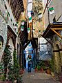
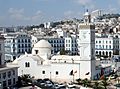
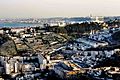
Casbah of Algiers is a historic part of the city.
-
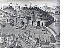
The Bombardment of Algiers by Admiral Duquesne in 1682.
-
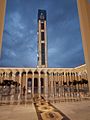
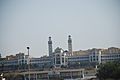
Djamaa el Djazaïr is a very large mosque.
-
Djamaa el Kebir is another important mosque.
-
Djamaa el Djedid
-
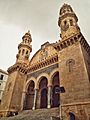
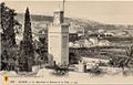
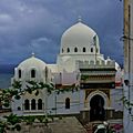
The beautiful Ketchaoua Mosque.
-
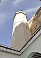
Safir Mosque
-
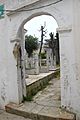
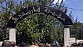
Thaalibia Cemetery
-
Sidi M'hamed Bou Qobrine Cemetery
-
Sidi Garidi Cemetery
-
El Kettar Cemetery
-
El Alia Cemetery
-
Madrasa Thaalibia is a school.
-
Emir Abdelkader Lyceum is a high school.
-
College of Islamic Sciences in Algiers
-
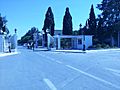
Algiers 1 University
-
University of Science and Technology Houari Boumediene


_-_Flickr_-_Getty_Research_Institute.jpg)


See Also
 In Spanish: Provincia de Argel para niños
