Ambrose Lake (Thunder Bay District) facts for kids
Quick facts for kids Ambrose Lake |
|
|---|---|
| Location | Thunder Bay District, Ontario |
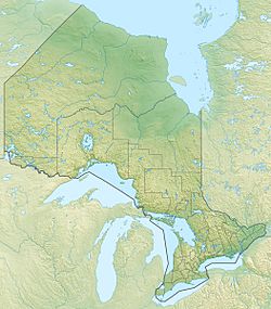
| Coordinates | 48°55′00″N 87°21′39″W / 48.91667°N 87.36083°W |
| Primary outflows | Unnamed creek to the Whitesand River |
| Basin countries | Canada |
| Max. length | 1.2 km (0.75 mi) |
| Max. width | .3 km (0.19 mi) |
| Surface elevation | 346 m (1,135 ft) |
Ambrose Lake is a lake located in the Thunder Bay District in Ontario, Canada. It's a natural body of water that plays a part in the local environment.
About Ambrose Lake
Ambrose Lake is about 1,200 metres (3,937 ft) long. That's like walking the length of 12 football fields! It is also about 300 metres (984 ft) wide. The lake sits at an elevation of 346 metres (1,135 ft) above sea level. This means it is quite high up compared to the ocean.
Where is it located?
The lake is found in the large Thunder Bay District of Ontario. It is about 13.5 kilometres (8.4 mi) northwest of a community called Schreiber. This area is known for its many lakes and forests.
Water Flow
The main way water leaves Ambrose Lake is through an unnamed creek. This creek flows into the Whitesand River. The Whitesand River is a larger waterway that eventually carries the water away. This creek is located between two other lakes, Longcanoe Lake and Hornblende Lake. This shows how lakes and rivers are connected in a big water system.


