
Arzobispo River facts for kids
Quick facts for kids Juan Amarillo River |
|
|---|---|

Location of the Juan Amarillo River in Colombia
|
|
| Other name(s) | Salitre River Arzobispo River |
| Country | Colombia |
| Department | Cundinamarca |
| Municipalities | Bogotá |
| Localities | Usaquén, Chapinero, Santa Fe, Suba, Barrios Unidos, Teusaquillo, Engativá |
| Physical characteristics | |
| Main source | Eastern Hills 3,300 m (10,800 ft) 4°38′09.1″N 74°02′00.2″W / 4.635861°N 74.033389°W |
| River mouth | Bogotá River Tibabuyes 2,539 m (8,330 ft) 4°44′15.2″N 74°07′38.7″W / 4.737556°N 74.127417°W |
| Basin features | |
| River system | Bogotá River Magdalena Basin Caribbean Sea |
| Basin size | 12,892 ha (31,860 acres) |
The Juan Amarillo River, also known as the Arzobispo River or Salitre River, is an important river in Bogotá, Colombia. It flows across the Bogotá savanna and is one of the rivers that feeds into the Bogotá River. This river starts in the Eastern Hills of Bogotá from many small streams called quebradas. It then flows into the Tibabuyes wetland, which is the largest wetland in Bogotá. The area that the Juan Amarillo River covers, called its basin, is about 12,892 hectares (31,860 acres). This basin includes several parts of Bogotá, such as Usaquén, Chapinero, Santa Fe, Suba, Barrios Unidos, Teusaquillo, and Engativá. The Juan Amarillo River, along with the Fucha River and Tunjuelo River, are the main rivers that join the Bogotá River from its left side in the capital city.
What is the Juan Amarillo River?
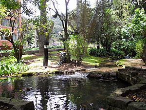
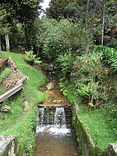
The Juan Amarillo River, also called the Arzobispo or Salitre River, begins high up in the Eastern Hills of Bogotá. It starts at an altitude of about 3,300 metres (10,800 ft) from many small streams. Some of the main streams that feed it are Las Delicias, La Vieja, El Chicó, Los Molinos, Santa Bárbara, Delicias del Carmen, El Cóndor, El Cedro, San Cristóbal, La Cita, and La Floresta.
The river's basin, which is the land area that drains into the river, covers a large part of Bogotá. In its upper section, it flows through Usaquén, Chapinero, and Santa Fe. As it moves further down, it passes through Suba, Barrios Unidos, Teusaquillo, and Engativá. The Suba Hills (cerros de Suba) are also found within this river basin. The total area of the Juan Amarillo basin is about 12,892 hectares (31,860 acres).
The river carries a lot of solid materials, like dirt and sand. About 1,320 milligrams per litre (4.8×10⁻⁵ lb/cu in) of these materials reach the end of the river near the Tibabuyes wetland.
Wetlands of the Juan Amarillo Basin
The Juan Amarillo River basin is home to six of the fifteen special protected wetlands in Bogotá. These wetlands are very important natural areas.
These wetlands are like natural sponges that help clean the water and provide homes for many plants and animals. They are also important for controlling floods. Here are the six wetlands found in the Juan Amarillo River basin:
| Wetland | Location | Altitude (m) |
Area (ha) |
Image |
|---|---|---|---|---|
| La Conejera | Suba | 2544 | 58.9 |
|
| Tibabuyes Juan Amarillo |
Suba Engativá |
2539 | 222.58 |
 |
| Jaboque | Engativá | 2539 | 148 |
 |
| Córdoba | Suba | 2548 | 40.51 |
 |
| Santa María del Lago |
Engativá | 2549 | 12 |
 |
| El Salitre | Barrios Unidos |
2558 | 6.4 |
Gallery
-
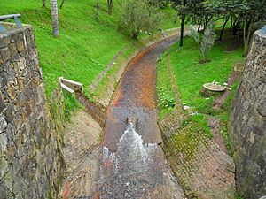
Channelised part near the Carrera Séptima
-
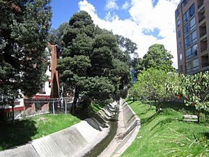
Channel near Carrera 30
-
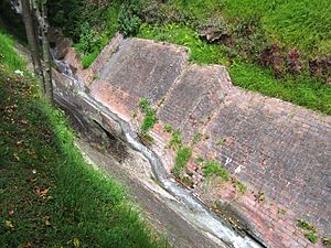
Quebrada El Virrey
-
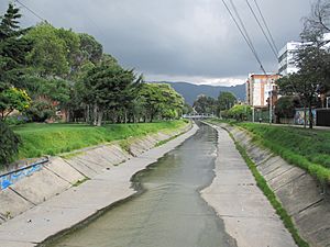
Channelised Río Molinos, near Carrera 25
-
Quebrada El Chicó
-
Quebrada La Vieja


See also
 In Spanish: Río Arzobispo para niños
- List of rivers of Colombia
- Eastern Hills, Bogotá
- Bogotá savanna
- Fucha River, Tunjuelo River
