Axtell, Utah facts for kids
Quick facts for kids
Axtell, Utah
|
|
|---|---|

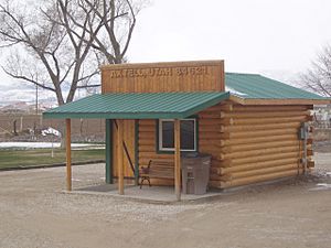
Axtell post office, April 2010
|
|
| Country | United States |
| State | Utah |
| County | Sanpete |
| Settled | 1870 |
| Founded by | Lars Peter Fjeldsted |
| Named for | Samuel Beach Axtell |
| Elevation | 5,151 ft (1,570 m) |
| Time zone | UTC-7 (Mountain (MST)) |
| • Summer (DST) | UTC-6 (MDT) |
| ZIP codes |
84621
|
| Area code(s) | 435 |
| GNIS feature ID | 1437493 |
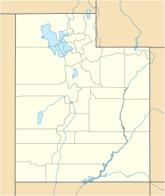
Axtell is a small, unincorporated community located in the Sevier Valley. It sits on the southwestern edge of Sanpete County, in the state of Utah, United States.
Contents
Discovering Axtell: Location and History
Axtell is easy to find along U.S. Route 89. This highway connects it to nearby cities. You can find Axtell between Centerfield and Salina.
How Axtell Got Its Start
The area where Axtell now stands was first settled in 1870. The early settlers called their new home Willowcreek. This name came from Willow Creek, a stream nearby.
Why the Name Changed to Axtell
In 1891, the community decided to change its name. They chose to honor Samuel Beach Axtell. He was a former territorial governor of Utah. A territorial governor was like a state governor before Utah became a state.
What is an Unincorporated Community?
Axtell is known as an "unincorporated community." This means it's a group of homes and businesses that isn't officially a city or town. It doesn't have its own local government. Instead, it's usually governed by the county it's in.


