Azalia, Indiana facts for kids
Quick facts for kids
Azalia, Indiana
|
|
|---|---|

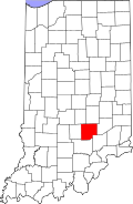
Bartholomew County's location in Indiana
|
|
| Country | United States |
| State | Indiana |
| County | Bartholomew |
| Township | Sand Creek |
| Elevation | 594 ft (181 m) |
| Time zone | UTC-5 (Eastern (EST)) |
| • Summer (DST) | UTC-4 (EDT) |
| ZIP code |
47232
|
| FIPS code | 18-03052 |
| GNIS feature ID | 2830308 |
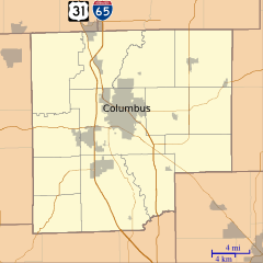
Azalia is a small, unincorporated community located in Bartholomew County, in the U.S. state of Indiana. Being "unincorporated" means it's a place where people live, but it doesn't have its own local government like a city or town. It's part of Sand Creek Township.
The Story of Azalia
Azalia was officially planned out and marked on maps on April 1, 1831. A few years later, in 1833, a post office opened there. This post office helped people send and receive mail for over 100 years! It closed down in 1934. The community got its name from the beautiful flowering plant called the azalea.
How Many People Lived Here?
| Historical population | |||
|---|---|---|---|
| Census | Pop. | %± | |
| 1860 | 120 | — | |
| 1870 | 91 | −24.2% | |
| U.S. Decennial Census | |||
The United States government counts its population every ten years. This is called the U.S. Census. Azalia was counted as its own community in the census until 1870. In that year, 91 people were reported to be living there.
Famous People from Azalia
- Mary Chawner Woody (1846-1928) was born near Azalia. She was a kind person who gave money and time to help others, making her a philanthropist. She was also an educator, meaning she worked in teaching and schools.
 | Percy Lavon Julian |
 | Katherine Johnson |
 | George Washington Carver |
 | Annie Easley |


