Bahía Ballena facts for kids
Quick facts for kids
Bahía Ballena
|
|
|---|---|
|
District
|
|
| Country | |
| Province | Puntarenas |
| Canton | Osa |
| Creation | 23 July 1991 |
| Area | |
| • Total | 160.39 km2 (61.93 sq mi) |
| Elevation | 12 m (39 ft) |
| Population
(2011)
|
|
| • Total | 3,306 |
| • Density | 20.612/km2 (53.386/sq mi) |
| Time zone | UTC−06:00 |
| Postal code |
60504
|
Bahía Ballena is a special area called a district in Costa Rica. It is part of the Osa canton, which is like a county. This canton is located in the Puntarenas province.
Contents
History of Bahía Ballena
Bahía Ballena became an official district on July 23, 1991. This happened through a special government decision.
Where is Bahía Ballena?
Bahía Ballena covers an area of about 160.39 square kilometers. To help you imagine, that's roughly the size of a small city. The district is also quite close to sea level, with an elevation of only 12 meters.
People of Bahía Ballena
| Historical population | |||
|---|---|---|---|
| Census | Pop. | %± | |
| 2000 | 1,990 | — | |
| 2011 | 3,306 | 66.1% | |
|
Instituto Nacional de Estadística y Censos |
|||
Every few years, countries count how many people live in different areas. This is called a census. According to the census in 2011, there were 3,306 people living in Bahía Ballena.
Getting Around Bahía Ballena
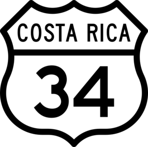
Roads are important for people to travel and move goods. The district has access to the following main road:
- National Route 34
See also
 In Spanish: Bahía Ballena (Osa) para niños
 | Roy Wilkins |
 | John Lewis |
 | Linda Carol Brown |


