Bernardo de Irigoyen, Misiones facts for kids
Quick facts for kids
Bernardo de Irigoyen
|
|
|---|---|
| Country | |
| Province | |
| Department | General Manuel Belgrano |
| Area | |
| • Total | 1,064 km2 (411 sq mi) |
| Elevation | 835 m (2,740 ft) |
| Population
(2001 census)
|
|
| • Total | 10,889 |
| • Density | 10.234/km2 (26.506/sq mi) |
| Time zone | UTC−3 (ART) |
| CPA base |
N3366
|
| Dialing code | +54 3741 |
Bernardo de Irigoyen is a city in the Misiones province of Argentina. In 2001, about 10,889 people lived there. It is the main town of the General Manuel Belgrano Department. The city is named after Bernardo de Irigoyen, who was an important politician and diplomat.
Contents
Exploring Bernardo de Irigoyen
Where is Bernardo de Irigoyen Located?
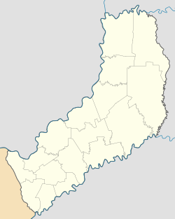
This city is found at the easternmost point of Argentina. It sits right on the border with Brazil. Next to it are the Brazilian towns of Dionísio Cerqueira and Barracão. This makes it a key entry point into Argentina.
The city is built on Barracón Hill, which is 835 meters high. This is the highest spot in the entire Misiones province! National Route 14 passes through here. This road connects the Argentine Mesopotamia region with other parts of the country.
Nature and Parks
A large part of the area around the city is home to the Urugua-í Provincial Park. This park was created in 1990 and covers about 84,000 hectares (210,000 acres) (hectares). It helps protect the natural environment and wildlife.
What is the Climate Like?
Bernardo de Irigoyen has a humid subtropical climate. This means it gets a lot of rain throughout the year. Because it is so high up on a hill, it has the coolest weather of all the cities in Misiones province. The average temperature for the year is about 18.3 °C or 64.9 °F.
Even though it's cool, the hottest month averages exactly 22 °C or 71.6 °F. This is why its climate is also very close to a subtropical highland climate.
See also
 In Spanish: Bernardo de Irigoyen (Misiones) para niños


