
Boumerdès Province facts for kids
Quick facts for kids
Boumerdès Province
ولاية بومرداس
|
|
|---|---|

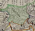
Map of Algeria highlighting Boumerdès
|
|
| Country | |
| Capital | Boumerdès |
| Area | |
| • Total | 1,591 km2 (614 sq mi) |
| Population
(2008)
|
|
| • Total | 795,019 |
| • Density | 499.70/km2 (1,294.2/sq mi) |
| Time zone | UTC+01 (CET) |
| Area Code | +213 (0) 24 |
| ISO 3166 code | DZ-35 |
| Districts | 9 |
| Municipalities | 32 |
Boumerdès is a beautiful province located in northern Algeria. It's known for its coastal areas and lovely landscapes. The main city and capital of this province is also called Boumerdès, which sits right on the coast.
This province is a great place to learn about Algerian culture and geography. It has a population of over 795,000 people, based on a 2008 count. The total area of Boumerdès Province is about 1,591 square kilometers.
Contents
Understanding Boumerdès: Divisions
Boumerdès Province is organized into smaller areas to help manage everything. These areas are called districts and municipalities. Think of them like smaller towns or regions within a larger state.
Districts of Boumerdès
The province is divided into 9 main districts. Each district includes several smaller towns or villages. This helps with local government and services.
- Baghlia
- Bordj Ménaïl
- Boudouaou
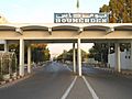
- Boumerdès
- Dellys
- Isser
- Khemis El Khechna
- Naciria
- Thénia
Municipalities of Boumerdès
Within these 9 districts, there are 32 smaller areas called communes or municipalities. These are like local towns or communities. They handle day-to-day services for the people living there.
Images for kids
-
Khachna Massif in Kabylia.
-
Khachna Massif
-
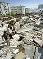
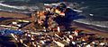
2003 Boumerdès earthquake
-
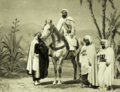
Emir Abdelkader resistance
-
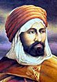
Mokrani Revolt
-
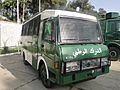
Gendarmerie Nationale
-
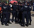
Algerian police
-
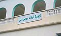
Zawiyet Sidi Boumerdassi
-
Zawiyet Sidi Amar Cherif
-
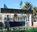
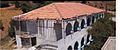
University of Boumerdès
-
Site of Le Rocher Hotel
-
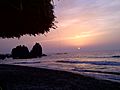
El Karma Beach
-
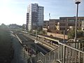
Boumerdès railway station
-
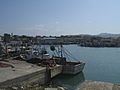
Zemmouri Port
-
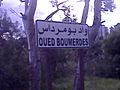
Boumerdès River
-
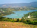
Keddara Dam
-
Cité Ali Bouyahiaoui
-
Cité 11 décembre 1960
-
Quartier du front de mer
-
Cité Ibn Khaldoun
-
Cité du Rocher Noir


.png)


.jpg)


.jpg)


See also
 In Spanish: Provincia de Bumerdés para niños
