Brundage, Texas facts for kids
Quick facts for kids
Brundage, Texas
|
|
|---|---|

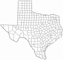
Location of Brundage, Texas
|
|
 |
|
| Country | United States |
| State | Texas |
| County | Dimmit |
| Area | |
| • Total | 0.6 sq mi (1.6 km2) |
| • Land | 0.6 sq mi (1.6 km2) |
| • Water | 0 sq mi (0.0 km2) |
| Elevation | 535 ft (163 m) |
| Population
(2020)
|
|
| • Total | 12 |
| • Density | 19.4/sq mi (7.5/km2) |
| Time zone | UTC-6 (Central (CST)) |
| • Summer (DST) | UTC-5 (CDT) |
| ZIP code |
78834
|
| Area code(s) | 830 |
| FIPS code | 48-10852 |
| GNIS feature ID | 1353013 |
Brundage is a very small community in Dimmit County, Texas, United States. It's known as a "census-designated place" (CDP). This means the U.S. Census Bureau has set boundaries for it to count its population. In 2020, only 12 people lived in Brundage.
Contents
Where is Brundage?
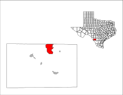
Brundage is located in the northeastern part of Dimmit County. You can find it along Texas State Highway 85. This highway connects Brundage to other towns nearby.
Nearby Towns and Travel
If you travel west on Highway 85 for about 12 miles, you'll reach Carrizo Springs. This is the main town and the county seat of Dimmit County. If you go east for about 6 miles, you'll arrive at Big Wells.
Size of the Area
According to the United States Census Bureau, Brundage covers a total area of about 1.6 square kilometers (or about 0.6 square miles). All of this area is land, with no water.
How Many People Live in Brundage?
The number of people living in Brundage has changed over the years. Here's a quick look at the population counts from recent censuses:
- In 2000, there were 31 people.
- In 2010, the population was 27.
- By 2020, the population had decreased to 12 people.
Education in Brundage
Students living in Brundage attend schools that are part of the Carrizo Springs Consolidated Independent School District. This school district serves the community's educational needs.
See also
 In Spanish: Brundage para niños
 | Janet Taylor Pickett |
 | Synthia Saint James |
 | Howardena Pindell |
 | Faith Ringgold |

