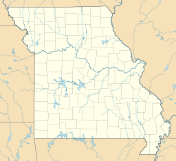
Buck Mountain (St. Francois County, Missouri) facts for kids
Quick facts for kids Buck Mountain |
|
|---|---|
| Highest point | |
| Elevation | 1,529 ft (466 m) |
| Geography | |
| Location | St. Francois County, Missouri, U.S. |
| Parent range | Saint Francois Mountains |
| Topo map | USGS Iron Mountain Lake |
Buck Mountain is a cool summit (which means it's the highest point of a mountain) located in the southern part of St. Francois County, in the U.S. state of Missouri. This mountain stands tall at an elevation of 1,529 feet (466 m) (that's about 466 meters!).
Exploring Buck Mountain
Buck Mountain is found in a pretty interesting spot. It's located to the east of Missouri Route V. If you're looking at a map, it's about six miles (or about 9.6 kilometers) northeast of a town called Pilot Knob. It's also around six miles southwest of another place known as Doe Run. This makes it a notable landmark in the area.
How Did Buck Mountain Get Its Name?
Have you ever wondered how places get their names? Well, Buck Mountain has a simple and fun story behind its name! It was named "Buck Mountain" because there were lots of deer in the area. A male deer is often called a "buck," so it made perfect sense to name the mountain after these animals that roamed freely there.


