Cerro Cedral facts for kids
Quick facts for kids Cerro Cedral |
|
|---|---|
| Highest point | |
| Elevation | 2,420 m (7,940 ft) |
| Geography | |
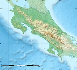
| Location | San José Province, Costa Rica |
| Parent range | Cerros de Escazú |
The Cerro Cedral is a mountain in Costa Rica. It is the second highest mountain in the Cerros de Escazú mountain range. It stands about 2,420 m (7,940 ft) tall.
The name "Cedral" means 'cedar forest'. This name comes from a special kind of tree called 'Cedro Dulce' (Cedrela tonduzii). These trees are endangered, which means they are at risk of disappearing.
This mountain is an important landmark. It marks the southern border of the Escazú area and the San José province.
The Agres River begins its journey from the slopes of Cerro Cedral.
On January 15, 1990, a Sansa Airlines flight had an accident near Cerro Cedral. The plane, a CASA C-212 Aviocar, was carrying 23 people. Investigators later found that the pilot was very tired at the time of the accident.
See also
 In Spanish: Cerro Cedral para niños
- Rabo de Mico
- Cerro Pico Alto
- Cerro Pico Blanco
- Cerro San Miguel


