
Cerro Santa Ana Natural Monument facts for kids
Quick facts for kids Cerro Santa Ana Natural MonumentMonumento Natural Cerro Santa Ana |
|
|---|---|
|
IUCN Category III (Natural Monument)
|
|
 |
|
.svg)
Cerro Santa Ana Natural Monument
Monumento Natural Cerro Santa Ana Location in Venezuela
|
|
| Location | |
| Area | 11.9 km2 (4.6 sq mi) |
| Established | June 14, 1972 |
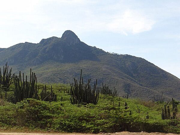
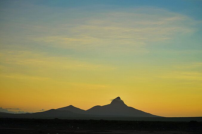
The Cerro Santa Ana Natural Monument (which means "Santa Ana Hill Natural Monument" in Spanish) is a very special protected area in Venezuela. It's located right in the middle of the Paraguaná Peninsula, in the northern part of Falcón State. This amazing natural monument covers about 1,900 hectares (that's like 4,700 acres!).
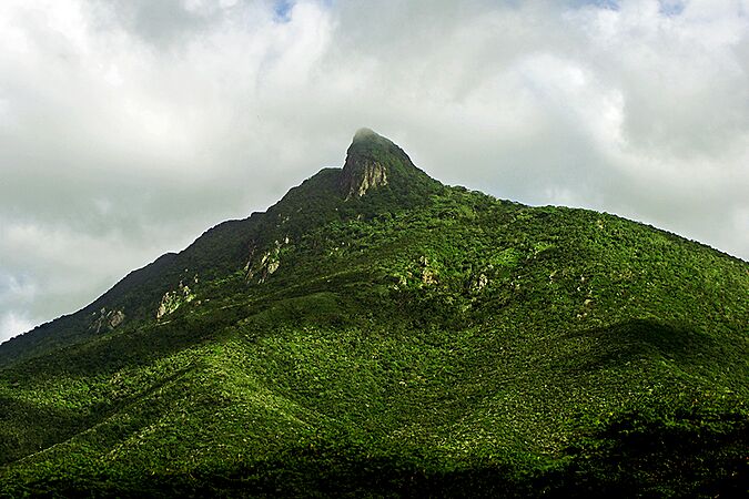
The highest point of Cerro Santa Ana is 830 meters (about 2,723 feet) above sea level. It was officially named a Natural Monument on June 14, 1972. This means it's protected by the government agency INPARQUES, which helps take care of Venezuela's natural spaces.
A Unique Green Oasis
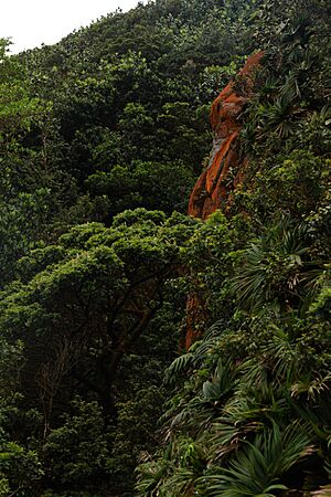
Cerro Santa Ana is quite different from the rest of the Paraguaná Peninsula. Most of the peninsula is dry with plants that don't need much water. But Cerro Santa Ana is a green oasis! It stands out with its lush, vibrant plant life.
Peaks and Changing Landscapes
This natural monument has three main peaks:
- Santa Ana (this is the tallest one!)
- Buena Vista
- Moruy
As you climb up Cerro Santa Ana, you'll notice big changes in the climate and the plants. At the bottom, it's very dry. You'll see lots of thorny bushes and trees that are used to dry weather.
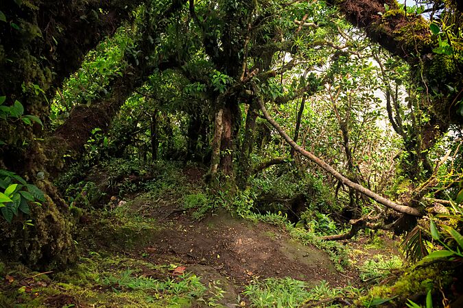
But as you go higher, the air becomes more humid. Here, you'll find taller, leafy trees that can grow up to 10 to 15 meters (about 33 to 49 feet) tall. These higher areas are also home to many epiphytes (plants that grow on other plants), mosses, and lichens. They love the damp, misty conditions!
Wildlife
The animals living in Cerro Santa Ana are mostly birds. Many different kinds of birds make their homes in the humid forests found on the higher parts of the hill.
Gallery
-
A different view of Cerro Santa Ana.
-
The Cerro Santa Ana Natural Monument.
-
Moruy Peak at Cerro Santa Ana.
-
Vegetation on Cerro Santa Ana.
-
Cerro Santa Ana.


.jpg)


See also
 In Spanish: Cerro Santa Ana (Paraguaná) para niños
- List of national parks of Venezuela
- Aristides Rojas Natural Monument
