Cerro de la Viga facts for kids
Quick facts for kids Cerro de la Viga |
|
|---|---|
| Sierra de la Viga Cerro San Rafael |
|

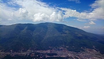
Cerro de la Viga seen from the Cerro Rancho Nuevo
|
|
| Highest point | |
| Elevation | 3,712 m (12,178 ft) |
| Prominence | 1,395 m (4,577 ft) |
| Geography | |
| Parent range | Sierra Madre Oriental |
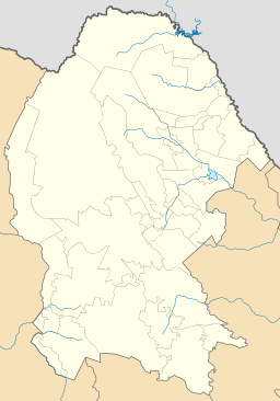
The Cerro de la Viga is a tall mountain in northeastern Mexico. It is located in the states of Coahuila and Nuevo León. The mountain's highest point is called Cerro San Rafael.
Cerro San Rafael reaches 3,712 meters (about 12,178 feet) above sea level. This makes it the highest point in the state of Coahuila. It is also the second highest point in the entire Sierra Madre Oriental mountain range. This range stretches across a large part of northern Mexico.
About the Mountain
The main ridge of Cerro de la Viga is about 40 kilometers (25 miles) long. For 22 kilometers (14 miles), this ridge forms the border between the states of Coahuila and Nuevo León. This means the mountain acts like a natural boundary line.
In June 2011, a fire affected the southern part of the mountain. This event showed how important it is to protect these natural areas.
Learn More
 In Spanish: Cerro de la Viga para niños
 | Sharif Bey |
 | Hale Woodruff |
 | Richmond Barthé |
 | Purvis Young |


