Cherryvale, Indiana facts for kids
Quick facts for kids
Cherryvale, Indiana
|
|
|---|---|
| Country | United States |
| State | Indiana |
| County | Vigo, Clay |
| Township | Lost Creek, Posey |
| Elevation | 584 ft (178 m) |
| Time zone | UTC-5 (Eastern (EST)) |
| • Summer (DST) | UTC-4 (EDT) |
| ZIP code |
47834
|
| Area code(s) | 812, 930 |
| GNIS feature ID | 432447 |
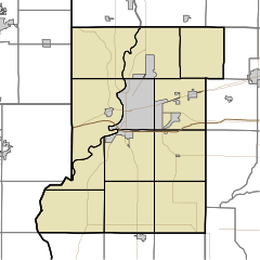
Cherryvale is a small place in Indiana, United States. It is called an "unincorporated community". This means it's a group of homes and buildings that don't have their own local government. Instead, it's part of two larger areas: Vigo County and Clay County. Cherryvale is also considered part of the Terre Haute metropolitan area, which is a bigger region around the city of Terre Haute.
The Story of Cherryvale
Cherryvale was never officially planned out like many towns. It didn't have a formal map or design.
A post office was opened in Cherryvale in the year 1899. A post office is a place where people can send and receive mail. It's often an important part of a community. However, this post office closed down just a few years later, in 1904.
Where is Cherryvale?
Cherryvale is located in the western part of Clay County. It sits right next to the border between Clay County and Vigo County.
You can find Cherryvale about one mile north of a major highway. This highway is called I-70, which is a very important road for travel across the United States.
 | Chris Smalls |
 | Fred Hampton |
 | Ralph Abernathy |


