Chilo, Ohio facts for kids
Quick facts for kids
Chilo, Ohio
|
|
|---|---|
|
Village
|
|
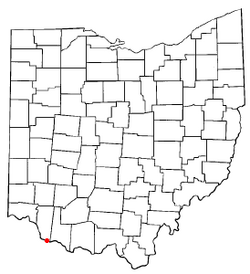
Location of Chilo, Ohio
|
|
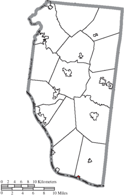
Location of Chilo in Clermont County
|
|
| Country | United States |
| State | Ohio |
| County | Clermont |
| Township | Franklin |
| Area | |
| • Total | 0.24 sq mi (0.63 km2) |
| • Land | 0.20 sq mi (0.52 km2) |
| • Water | 0.04 sq mi (0.11 km2) |
| Elevation | 502 ft (153 m) |
| Population
(2020)
|
|
| • Total | 71 |
| • Estimate
(2023)
|
72 |
| • Density | 351.49/sq mi (135.43/km2) |
| Time zone | UTC-5 (Eastern (EST)) |
| • Summer (DST) | UTC-4 (EDT) |
| ZIP code |
45112
|
| Area code(s) | 513 |
| FIPS code | 39-14226 |
| GNIS feature ID | 2397622 |
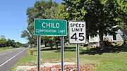
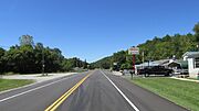
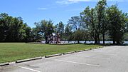
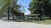
Chilo is a small village in Clermont County, Ohio, United States. It is located right along the Ohio River. In 2020, about 71 people lived there.
Contents
History of Chilo
Chilo was first known as Mechanicsburgh. It was officially planned out in 1816. A post office opened there in 1819. The village's name changed to Chilo in 1820. This change was made by a law from the Ohio Legislature.
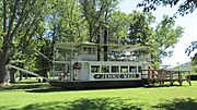
By the 1830s, Chilo became a busy place. Many businesses that built boats were located there. This caused the population to grow to several hundred people. At that time, Chilo had more than 30 houses and two stores.
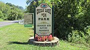
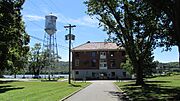
The town was also home to Lock #34 on the Ohio River. Locks are like water elevators for boats. They help boats move between different water levels. This lock was used until the 1960s. It closed when the Meldahl Dam was built nearby. Today, the old lock building is a museum. It is called the Ohio River Museum. The Clermont County Parks Department runs this museum.
Geography of Chilo
Chilo is a very small village. It has a total area of about 0.24 square miles (0.63 square kilometers). Most of this area is land, about 0.20 square miles (0.52 square kilometers). The rest, about 0.04 square miles (0.11 square kilometers), is water. This water area is part of the Ohio River.
Chilo's Population Over Time
| Historical population | |||
|---|---|---|---|
| Census | Pop. | %± | |
| 1860 | 147 | — | |
| 1870 | 160 | 8.8% | |
| 1880 | 200 | 25.0% | |
| 1970 | 174 | — | |
| 1980 | 173 | −0.6% | |
| 1990 | 130 | −24.9% | |
| 2000 | 97 | −25.4% | |
| 2010 | 63 | −35.1% | |
| 2020 | 71 | 12.7% | |
| 2023 (est.) | 72 | 14.3% | |
| U.S. Decennial Census | |||
The population of Chilo has changed a lot over the years. In 1880, it had 200 people. By 2010, the population had dropped to 63 people. The most recent count in 2020 showed a slight increase to 71 people. In 2023, the population was estimated to be 72.
What the 2010 Census Showed
In 2010, there were 63 people living in Chilo. These people lived in 28 different homes. About half of these homes were families. The average age of people in the village was about 50.8 years old. Most residents were White.
Gallery
See also
 In Spanish: Chilo (Ohio) para niños
 | Kyle Baker |
 | Joseph Yoakum |
 | Laura Wheeler Waring |
 | Henry Ossawa Tanner |


