Clarksdale, Indiana facts for kids
Quick facts for kids
Clarksdale, Indiana
|
|
|---|---|

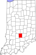
Brown County's location in Indiana
|
|
| Country | United States |
| State | Indiana |
| County | Brown |
| Township | Washington |
| Elevation | 679 ft (207 m) |
| Time zone | UTC-5 (Eastern (EST)) |
| • Summer (DST) | UTC-4 (EDT) |
| ZIP code |
47448
|
| Area code(s) | 812 & 930 |
| FIPS code | 18-12890 |
| GNIS feature ID | 432574 |
Clarksdale is a small place in Brown County, Indiana, United States. It's known as an unincorporated community. This means it's a group of homes or buildings that doesn't have its own local government like a town or city does. Instead, it's part of a larger area called Washington Township.
What is an Unincorporated Community?
An unincorporated community is a place where people live close together. But it doesn't have its own mayor or town council. It relies on the county or township for services. These services include things like roads, police, and fire protection. Many small communities across the U.S. are unincorporated.
Where is Clarksdale Located?
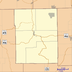
Clarksdale is found in the beautiful state of Indiana. It's specifically in Brown County. You can find it at these exact coordinates: 39°12′00″N 86°07′34″W / 39.20000°N 86.12611°W. These numbers tell you its precise spot on a map. It sits about 207 meters (or 679 feet) above sea level.
How Did Clarksdale Get Its Name?
This community was named to honor a very important historical figure. Clarksdale got its name from George Rogers Clark. He was a brave soldier and leader during the American Revolutionary War. Clark is famous for his military victories in the Northwest Territory. This area included parts of what is now Indiana. Naming the community after him was a way to remember his contributions.


