Corwin, Tippecanoe County, Indiana facts for kids
Quick facts for kids
Corwin
|
|
|---|---|

The grain elevators at Corwin
|
|

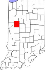
Tippecanoe County's location in Indiana
|
|
| Country | United States |
| State | Indiana |
| County | Tippecanoe |
| Township | Randolph |
| Elevation | 735 ft (224 m) |
| Time zone | UTC-5 (Eastern (EST)) |
| • Summer (DST) | UTC-4 (EDT) |
| ZIP code |
47981
|
| Area code(s) | 765 |
| GNIS feature ID | 446668 |
Corwin was once a small town in Randolph Township, Tippecanoe County, in the U.S. state of Indiana. Today, it is known as a ghost town, meaning it no longer has people living there.
What Happened to Corwin?
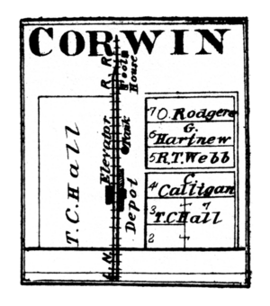
Corwin was started by a person named Cyrus Foltz in 1856. He planned it with seven building plots. These plots were located near a train track. This track went south from the city of Lafayette.
However, Corwin never grew into a big town. A nearby town called Romney became more important. Later maps sometimes called the area "Corwin Station."
A post office was opened in Corwin in 1854. But it closed in the very same year. This shows how quickly the town faded away.
As of September 2016, an old grain silo that used to be there was removed. Some older maps might still show it. But newer maps show that it has been taken down.
Where Was Corwin Located?
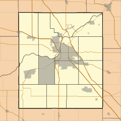
Corwin was located at specific geographic coordinates. These are 40°15'5" North and 86°54'52" West. Its elevation, or height above sea level, was about 740 feet (224 meters).
It was situated in Randolph Township. Corwin was about half a mile west of the town of Romney. It was also on a north–south CSX train line.
Even though Corwin is now a ghost town, it is still listed by the USGS. The USGS is the United States Geological Survey. They keep records of places like this.
 | Victor J. Glover |
 | Yvonne Cagle |
 | Jeanette Epps |
 | Bernard A. Harris Jr. |


