Cuajiniquil District facts for kids
Quick facts for kids
Cuajiniquil
|
|
|---|---|
|
District
|
|
| Country | |
| Province | Guanacaste |
| Canton | Santa Cruz |
| Creation | 11 November 1974 |
| Area | |
| • Total | 218.65 km2 (84.42 sq mi) |
| Elevation | 24 m (79 ft) |
| Population
(2011)
|
|
| • Total | 1,789 |
| • Density | 8.1820/km2 (21.191/sq mi) |
| Time zone | UTC−06:00 |
| Postal code |
50306
|
Cuajiniquil is a special area called a district in the Santa Cruz region. It is part of the Guanacaste province in the beautiful country of Costa Rica. This district is known for its natural beauty and local communities.
Contents
History of Cuajiniquil
Cuajiniquil became an official district on November 11, 1974. This happened through a special government decision. Before that, it was part of another district called Veintisiete de Abril.
Geography and Landscape
Cuajiniquil covers an area of about 218.65 square kilometers (that's about 84.4 square miles). It is located at an elevation of 24 meters (about 79 feet) above sea level. This means it's quite close to the coast.
Villages in the District
The main village and administrative center of the Cuajiniquil district is called San Juanillo. Many other smaller villages are also part of this district. Some of these include Alemania, Fortuna, Lagarto, Manzanillo, Marbella, and Ostional.
People of Cuajiniquil
According to the 2011 census, about 1,789 people live in Cuajiniquil. The people living here contribute to the unique culture and community of the district.
Getting Around Cuajiniquil
Road Connections
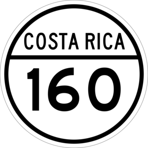
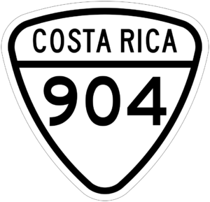
The district of Cuajiniquil is connected by important roads that help people travel and transport goods. These roads are:
- National Route 160
- National Route 904
These routes help link Cuajiniquil to other parts of the Santa Cruz canton and the wider Guanacaste province.
See also
 In Spanish: Cuajiniquil de Santa Cruz para niños
 | Jackie Robinson |
 | Jack Johnson |
 | Althea Gibson |
 | Arthur Ashe |
 | Muhammad Ali |


