David River (Yamaska River tributary) facts for kids
Quick facts for kids David River |
|
|---|---|
 |
|
| Country | Canada |
| Province | Quebec |
| Region | Montérégie and Centre-du-Québec |
| Regional County Municipality | Drummond Regional County Municipality, Pierre-De Saurel Regional County Municipality |
| Physical characteristics | |
| Main source | Various agricol streams Saint-Eugène 79 m (259 ft) 45°48′07″N 72°38′45″E / 45.801863°N 72.645748°E |
| River mouth | Yamaska River Saint-David 10 m (33 ft) 45°58′16″N 72°53′59″W / 45.97111°N 72.89972°W |
| Length | 53.5 km (33.2 mi) |
| Basin features | |
| Tributaries |
|
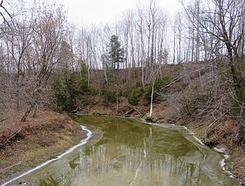
The David River is a river in Quebec, Canada. It flows into the Yamaska River from its east side. The river runs through the South Shore area of the Saint Lawrence River.
It passes through several towns in Quebec, including:
- Saint-Eugène
- Saint-Edmond-de-Grantham
- Saint-Guillaume
- Saint-David
These towns are part of different regions in Quebec, like Centre-du-Québec and Montérégie. The land around the David River is mostly used for farming and some forestry.
Contents
Where Does the David River Flow?
The David River is surrounded by other rivers.
- To the north and east, you'll find the Saint-François River.
- To the south is the Noire River.
- To the west is the Yamaska River, which the David River eventually joins.
The River's Journey
The David River starts from small streams on farms in Saint-Eugène. This starting point is near Highway 20. From there, the river flows for about 53.5 kilometres (33.2 mi) (about 33 miles). Along its path, the river drops about 69 metres (226 ft) (226 feet) in height.
The river's journey can be split into two main parts:
Upper Part of the River
In its upper section, the David River flows mostly north. It goes through farmland and some forest areas. It winds its way past the village of Saint-Edmond-de-Grantham. Further along, it reaches Route 224, which connects the villages of Saint-Guillaume and Saint-Bonaventure.
Lower Part of the River
After crossing Route 224, the river continues to flow generally west. It twists and turns, passing by various smaller streams that join it. Finally, it reaches the village of Saint-David-d'Yamaska. From there, it flows a bit further until it empties into the Yamaska River. This meeting point is about 3.5 kilometres (2.2 mi) (2.2 miles) upstream from the Camille-Parenteau bridge in Yamaska.
What's in a Name?
The name "David River" has been used for a long time, at least since 1690. It was once called "Rivière Saint-David."
Old maps, like one from 1815, show this name. A book from 1914 about Quebec's rivers and lakes also uses the name "Rivière David."
The river is named after Jacques David (1657-1708). He was a beaver trapper who worked in this area. The official name "Rivière David" was recorded on December 5, 1968.
 | John T. Biggers |
 | Thomas Blackshear |
 | Mark Bradford |
 | Beverly Buchanan |

