Derry, New Mexico facts for kids
Quick facts for kids
Derry
|
|
|---|---|
| Country | United States |
| State | New Mexico |
| County | Sierra |
| Elevation | 4,118 ft (1,255 m) |
| Time zone | UTC-7 (Mountain (MST)) |
| • Summer (DST) | UTC-6 (MDT) |
| Area code(s) | 575 |
| GNIS feature ID | 888335 |
Derry is a small place in Sierra County, New Mexico, in the United States. It is known as an unincorporated community. This means it doesn't have its own local government like a city or town.
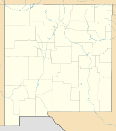
Derry is located on New Mexico State Road 187. It is about 11.3 miles (18.2 km) northwest of a town called Hatch.
About Derry
Derry has its own post office with the ZIP code 87933. This post office first opened a long time ago, on August 11, 1911.
The community was named after Derry, a city in Ireland. A former soldier suggested this name.
Learning in Derry
Students living in Derry attend schools that are part of the Truth or Consequences Municipal Schools district. This school district manages all the public schools in Sierra County.
For middle school, students go to Truth or Consequences Middle School. High school students attend Hot Springs High School. Both of these schools are located in the nearby town of Truth or Consequences.
 | Bessie Coleman |
 | Spann Watson |
 | Jill E. Brown |
 | Sherman W. White |


