East Marlborough Township, Pennsylvania facts for kids
Quick facts for kids
East Marlborough Township
|
|
|---|---|
|
Township
|
|

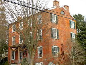
Unionville Historic District
|
|

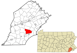
Location in Chester County and the state of Pennsylvania.
|
|

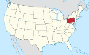
Location of Pennsylvania in the United States
|
|
| Country | United States |
| State | Pennsylvania |
| County | Chester |
| Area | |
| • Total | 15.54 sq mi (40.26 km2) |
| • Land | 15.45 sq mi (40.02 km2) |
| • Water | 0.09 sq mi (0.23 km2) |
| Elevation | 358 ft (109 m) |
| Population
(2010)
|
|
| • Total | 7,026 |
| • Estimate
(2016)
|
7,270 |
| • Density | 470.46/sq mi (181.64/km2) |
| Time zone | UTC-5 (EST) |
| • Summer (DST) | UTC-4 (EDT) |
| Area code(s) | 610 |
| FIPS code | 42-029-21480 |
East Marlborough Township is a community located in Chester County, Pennsylvania, in the United States. In 2010, about 7,026 people lived here. This township was created in 1729 from a larger area called Marlborough Township. It's known for its many old "Penn Oak" trees, which were already growing when William Penn explored this region long ago. A very famous place called Longwood Gardens is also found in East Marlborough Township.
Contents
A Look Back: History of East Marlborough
East Marlborough Township has a rich history. Several important places here are listed on the National Register of Historic Places. These include historic homes and areas like Cedarcroft, Green Valley Historic District, Marlborough Village Historic District, and the Unionville Village Historic District. Even parts of Longwood Gardens District and old farms like South Brook Farm and the Gideon Wickersham Farmstead are recognized for their historical value.
Where is East Marlborough? Geography
East Marlborough Township covers an area of about 15.6 square miles (40.4 square kilometers). It's all land, with no large bodies of water.
Neighboring Communities
East Marlborough Township shares its borders with several other townships:
- Newlin Township (to the north)
- Pocopson Township (to the northeast)
- Pennsbury Township (to the east)
- Kennett Township (to the south)
- New Garden Township (to the southwest)
- West Marlborough Township (to the west)
Who Lives Here? Demographics
| Historical population | |||
|---|---|---|---|
| Census | Pop. | %± | |
| 1930 | 1,599 | — | |
| 1940 | 1,600 | 0.1% | |
| 1950 | 1,868 | 16.8% | |
| 1960 | 2,417 | 29.4% | |
| 1970 | 3,031 | 25.4% | |
| 1980 | 3,953 | 30.4% | |
| 1990 | 4,781 | 20.9% | |
| 2000 | 6,317 | 32.1% | |
| 2010 | 7,026 | 11.2% | |
| 2020 | 7,306 | 4.0% | |
In 2010, the population of East Marlborough Township was 7,026 people. Most residents were non-Hispanic White (89.2%). Other groups included Asian (3.6%), Black or African American (1.4%), and Native American (0.2%). About 4.6% of the population had Hispanic or Latino family backgrounds.
In 2000, there were 2,131 households in the township. Many households (43.8%) had children under 18 living with them. The average household had about 2.92 people. The median age of residents was 38 years old.
Learning in East Marlborough: Education
Most of East Marlborough Township is part of the Unionville-Chadds Ford School District. A smaller part of the township is served by the Kennett Consolidated School District.
Getting Around: Transportation
East Marlborough Township has over 71 miles (114 km) of public roads. Some of these roads are maintained by the state's Department of Transportation (PennDOT), while the township takes care of most of them.
Main Roads and Highways
Several important roads pass through or near East Marlborough Township:
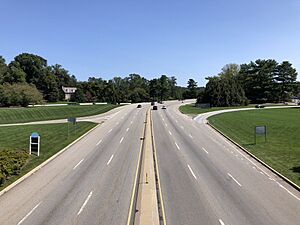
- U.S. Route 1 is a major highway that runs along the southern and southeastern edge of the township.
- Pennsylvania Route 52 follows Lenape Road along the far eastern side.
- Pennsylvania Route 82 goes through the northwestern and central parts of the township.
- Pennsylvania Route 842 runs through the northwestern areas and briefly joins PA 82.
- Pennsylvania Route 926 follows Street Road through the central part of the township.
See also
 In Spanish: Municipio de East Marlborough para niños


