Eastgate, Nevada facts for kids
Quick facts for kids
Eastgate, Nevada
|
|
|---|---|
 |
|
| Country | United States |
| State | Nevada |
| County | Churchill |
| Elevation | 5,095 ft (1,553 m) |
| GNIS feature ID | 0854435 |
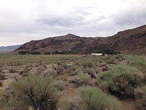
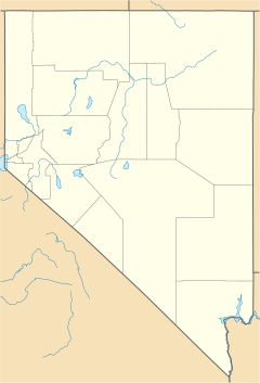
Eastgate is a small, quiet place in Churchill County, Nevada, in the United States. It is known as an unincorporated community. This means it is a group of homes and buildings that does not have its own local government. Eastgate is located along Nevada State Route 722. This road was once part of the famous Lincoln Highway. People sometimes call it by other names like East Gate or Eastgate Station.
A Glimpse into Eastgate's Past
Eastgate was once an important stop. It was a station along the Central Overland Route. This was a major path across the western United States. Many people traveled this route in the mid-1800s.
In 1859, a man named Captain James Simpson visited the area. He was exploring and mapping the land. Captain Simpson gave Eastgate its name. He noticed that the hills around the area looked like a gate. This natural gate led travelers through a pass.
See also
 In Spanish: Eastgate (Nevada) para niños
 | Sharif Bey |
 | Hale Woodruff |
 | Richmond Barthé |
 | Purvis Young |


