El Roble District facts for kids
Quick facts for kids
El Roble
|
|
|---|---|
|
District
|
|
| Country | |
| Province | Puntarenas |
| Canton | Puntarenas |
| Creation | 14 September 1999 |
| Area | |
| • Total | 7.94 km2 (3.07 sq mi) |
| Elevation | 4 m (13 ft) |
| Population
(2011)
|
|
| • Total | 15,759 |
| • Density | 1,984.8/km2 (5,141/sq mi) |
| Time zone | UTC−06:00 |
| Postal code |
60115
|
El Roble is a district located in the Puntarenas area of Costa Rica. It's part of the Puntarenas province, which is known for its beautiful coastlines and natural areas. Think of a district like a neighborhood or a smaller part of a bigger city or region.
Contents
A Look Back in Time
El Roble became an official district on September 14, 1999. This means it was formally recognized as its own special area on that date.
Where is El Roble?
El Roble covers an area of about 7.94 square kilometers. That's like a small town or a good-sized neighborhood! It's also quite close to sea level, at just 4 meters high. This means it's a low-lying area, which is common for places near the coast in Puntarenas.
Who Lives in El Roble?
| Historical population | |||
|---|---|---|---|
| Census | Pop. | %± | |
| 2011 | 15,759 | — | |
|
Instituto Nacional de Estadística y Censos |
|||
Every few years, countries like Costa Rica count how many people live in different areas. This is called a census. At the 2011 census, it was found that about 15,759 people lived in El Roble. That's a good-sized community!
Getting Around El Roble
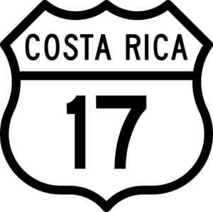
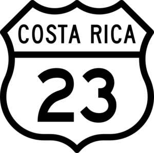
Roads are important for people to travel and for goods to move. El Roble has two main road routes that help connect it to other places:
- National Route 17
- National Route 23
These routes are like main highways that pass through or near the district, making it easier for people to get around.
See also
 In Spanish: El Roble de Puntarenas para niños
 | John T. Biggers |
 | Thomas Blackshear |
 | Mark Bradford |
 | Beverly Buchanan |


