Fieldale, Virginia facts for kids
Quick facts for kids
Fieldale, Virginia
|
|
|---|---|

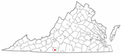
Location of Fieldale, Virginia
|
|
| Country | United States |
| State | Virginia |
| County | Henry |
| Area | |
| • Total | 1.6 sq mi (4.2 km2) |
| • Land | 1.6 sq mi (4.2 km2) |
| • Water | 0.0 sq mi (0.0 km2) |
| Elevation | 810 ft (247 m) |
| Population
(2010)
|
|
| • Total | 879 |
| • Density | 549/sq mi (209.3/km2) |
| Time zone | UTC−5 (Eastern (EST)) |
| • Summer (DST) | UTC−4 (EDT) |
| ZIP code |
24089
|
| Area code(s) | 276 |
| FIPS code | 51-27744 |
| GNIS feature ID | 1495536 |
Fieldale is a small community in Henry County, Virginia, United States. It's called a census-designated place (CDP), which means it's a special area used for gathering population information. In 2010, about 879 people lived there. Fieldale is part of the larger Martinsville area.
History of Fieldale
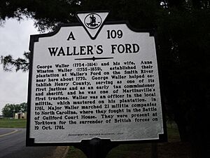
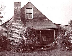
Fieldale was first settled in 1770 by a man named George Waller. He was an officer in the local army, called a militia back then. He and his wife, Ann Winston, who was a cousin of the famous American Patrick Henry, chose this spot because it was a safe place to cross the Smith River. Colonel Waller's land was even used for training the local soldiers.
For more than 100 years, this place was known as Waller's Ford. Today, a special historical marker shows where Colonel Waller's home used to be.
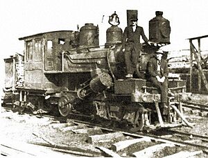
In 1916, a large company called Marshall Field & Company bought the land from Waller's family. They built a big textile factory called Fieldcrest Mills. They also built the town of Fieldale and a large clubhouse for the company, all finished by 1919.
Some important buildings in Fieldale are listed on the National Register of Historic Places. These include the Fieldale Historic District, the Marshall Field and Company Clubhouse, and the Virginia Home.
Geography of Fieldale
Fieldale is located in Virginia at these coordinates: 36°41′59″N 79°56′22″W / 36.69972°N 79.93944°W.
According to the United States Census Bureau, Fieldale covers a total area of 1.6 square miles (4.2 square kilometers). All of this area is land, with no water.
Population and People
In the year 2000, there were 929 people living in Fieldale. These people lived in 420 households, and 275 of those were families. The population density was about 575 people per square mile.
About 20% of the people living in Fieldale were under 18 years old. The median age (the middle age of all the people) was 44 years old.
See also
 In Spanish: Fieldale (Virginia) para niños
 | Stephanie Wilson |
 | Charles Bolden |
 | Ronald McNair |
 | Frederick D. Gregory |


