Figueruela de Arriba facts for kids
Quick facts for kids
Figueruela de Arriba
|
|
|---|---|
 |
|
| Country | |
| Autonomous community | |
| Province | |
| Comarca | Aliste |
| Area | |
| • Total | 153 km2 (59 sq mi) |
| Population
(2018)
|
|
| • Total | 339 |
| • Density | 2.216/km2 (5.739/sq mi) |
| Time zone | UTC+1 (CET) |
| • Summer (DST) | UTC+2 (CEST) |
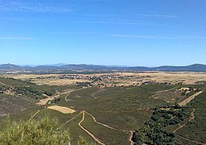
Figueruela de Arriba is a small town, also called a municipality, in Spain. It is located in the province of Zamora, which is part of the Castile and León region. In 2018, about 339 people lived there.
Figueruela de Arriba is very close to the border with Portugal. The highest point in the nearby Sierra de la Culebra mountains is called Peña Mira. This peak is located near a village called Flechas, which is part of the Figueruela de Arriba area.
What is Figueruela de Arriba?
Figueruela de Arriba is the main town for several smaller villages. It has the town hall, which is like the local government office for these villages.
Villages in Figueruela de Arriba
The town hall in Figueruela de Arriba manages seven different villages. Here are the villages and their populations as of 2020:
- Figueruela de Arriba (98 people)
- Gallegos del Campo (86 people)
- Figueruela de Abajo (61 people)
- Moldones (37 people)
- Riomanzanas (26 people)
- Villarino de Manzanas (15 people)
- Flechas (13 people)
See also
 In Spanish: Figueruela de Arriba para niños


