Garrisonville, Virginia facts for kids
Quick facts for kids
Garrisonville
|
|
|---|---|

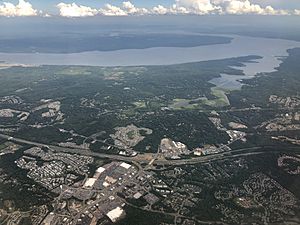
Aerial view of Garrisonville (foreground) and Aquia Harbour (center) with Aquia Creek and the Potomac River in the background
|
|
| Country | United States |
| State | Virginia |
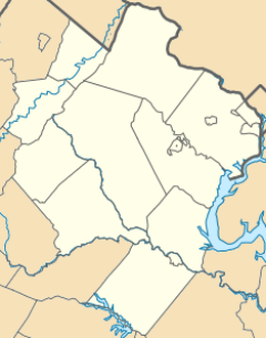
| County | Stafford |
| Time zone | UTC−5 (Eastern (EST)) |
| • Summer (DST) | UTC−4 (EDT) |
| ZIP code |
22463
|
| GNIS feature ID | 1499463 |
Garrisonville is a small place in Stafford County, Virginia. It is called an unincorporated community. This means it's a group of homes and businesses that isn't officially a town or city.
Where is Garrisonville Located?
Garrisonville is found in the state of Virginia in the United States. It sits about 282 feet (86 meters) above sea level. This community is located just south of Marine Corps Base Quantico.
Getting Around Garrisonville: Roads and Travel
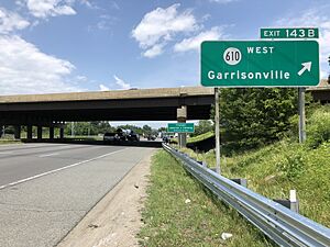
Garrisonville has important roads that help people travel. State Route 610, also known as Garrisonville Road, goes through the area from east to west.
Two major highways, Interstate 95 and U.S. Route 1, run north and south to the east of Garrisonville. These roads are very important for connecting the community to other places.
Black History Month on Kiddle
Famous African-American Scientists:
 | Percy Lavon Julian |
 | Katherine Johnson |
 | George Washington Carver |
 | Annie Easley |

All content from Kiddle encyclopedia articles (including the article images and facts) can be freely used under Attribution-ShareAlike license, unless stated otherwise. Cite this article:
Garrisonville, Virginia Facts for Kids. Kiddle Encyclopedia.


